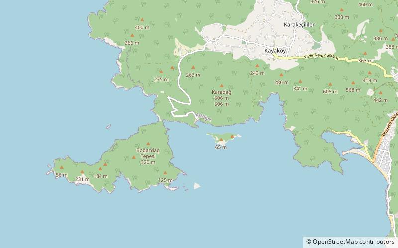
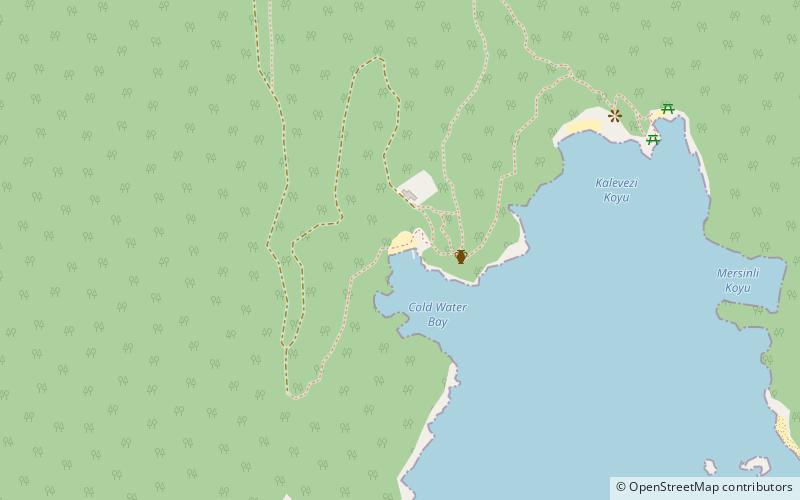
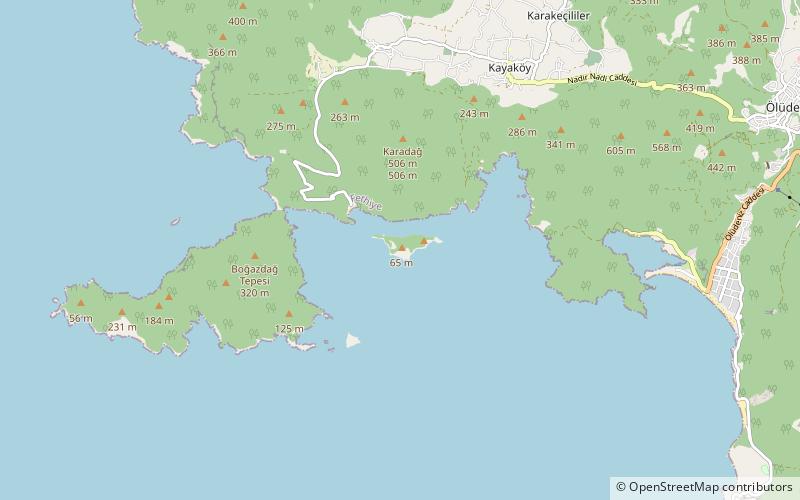
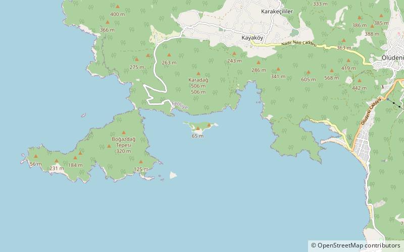
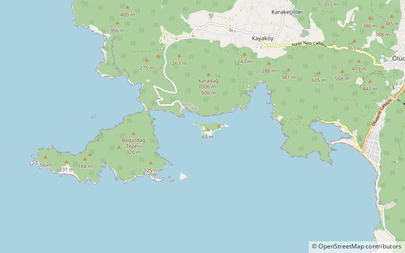
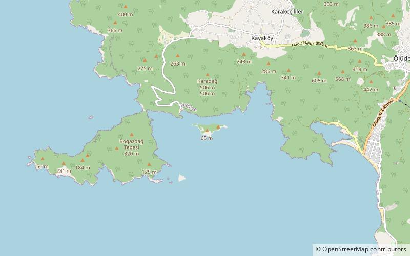
Gemiler Koyu, Kayaköy
Map
Facts and practical information
Gemiler Koyu is a place located in Kayaköy (Mugla province) and belongs to the category of beach, bay.
It is situated at an altitude of 7 feet, and its geographical coordinates are 36°33'28"N latitude and 29°3'41"E longitude.
Among other places and attractions worth visiting in the area are: Lower Church, Gemiler Island (ruins, 11 min walk), Cistern, Gemiler Island (ruins, 12 min walk), Church on the Crest, Gemiler Island (ruins, 14 min walk).
Coordinates: 36°33'28"N, 29°3'41"E
Address
Kayaköy
ContactAdd
Social media
Add
Day trips
Frequently Asked Questions (FAQ)
Which popular attractions are close to Gemiler Koyu?
Nearby attractions include Lower Church, Gemiler Island (11 min walk), Cistern, Gemiler Island (12 min walk), Church on the Crest, Gemiler Island (14 min walk), Annex Church, Gemiler Island (15 min walk).