Lake Burdur
Map

Map

Facts and practical information
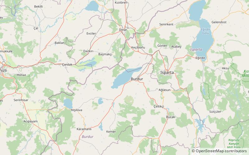
Lake Burdur is a large saline lake of tectonic origin, positioned at the frontier between Burdur and Isparta provinces, in southwestern Turkey. It has an area of 250 km2 and maximum depth variously reported at between 50 and 110 m. Water level in the lake fluctuates. Lake Burdur is also an important wetland site for many bird species and is designated a Ramsar site. ()
Local name: Burdur Gölü Area: 96.53 mi²Maximum depth: 361 ftElevation: 2772 ft a.s.l.Coordinates: 37°44'5"N, 30°10'51"E
Location
Burdur
ContactAdd
Social media
Add
