Arnavutköy
Map

Map

Facts and practical information
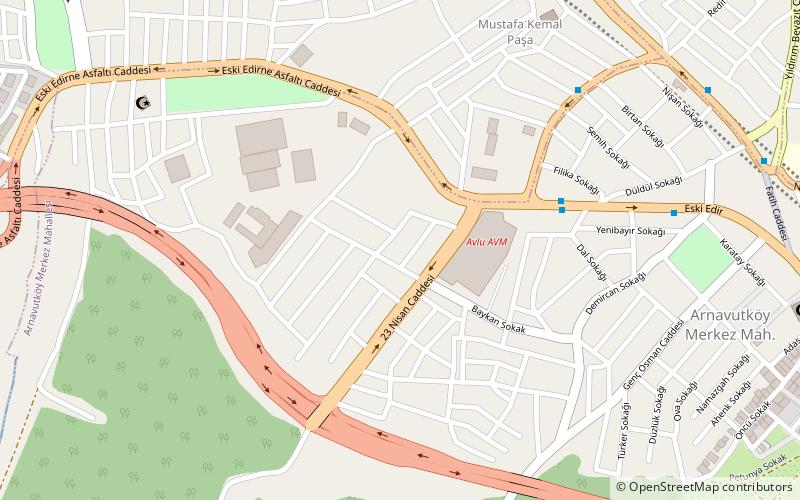
Arnavutköy is a town and rural district in Istanbul Province, Turkey. The district was newly formed in 2008 from the large rural part of Gaziosmanpaşa district and parts of other districts, including Çatalca. The mayor is Ahmet Haşim Baltacı of the AKP. ()
Local name: Arnavutköy, İstanbul Population: 198.2 thous.Area: 195.55 mi²Coordinates: 41°10'60"N, 28°43'60"E
Location
Istanbul
ContactAdd
Social media
Add
Day trips
Arnavutköy – popular in the area (distance from the attraction)
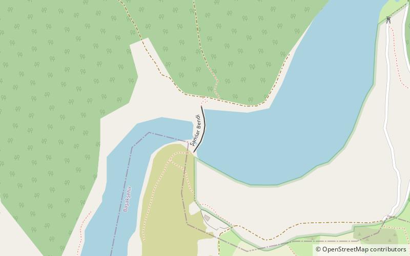
Nearby attractions include: Sazlıdere Dam, Başakşehir Fatih Terim Stadyumu.


