Gaziosmanpaşa, Istanbul
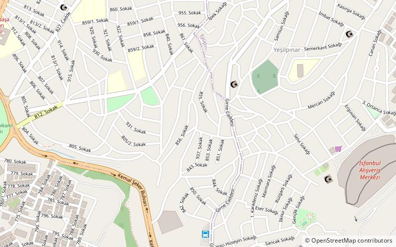
Map
Facts and practical information
Gaziosmanpaşa is a developing working class municipality and district of Istanbul, Turkey, on its European side. With a population of 400,000 plus, it is one of the most populous districts. In 2009 Gaziosmanpaşa district was divided into three neighborhoods: Gaziosmanpaşa, the central; Sultangazi, the northern part; and Arnavutköy, the northernmost part. Esenler and Bayrampaşa are at west, Sultangazi is at north and Eyüp is at south and east of district. It was formed from parts of Eyüp and Çatalca districts in 1963. ()
Day trips
Gaziosmanpaşa – popular in the area (distance from the attraction)
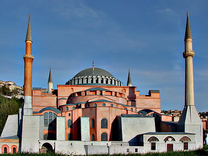
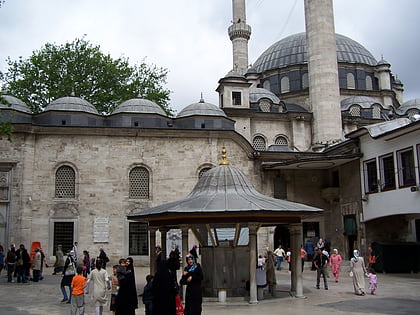
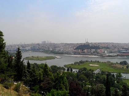
Nearby attractions include: Miniatürk, Eyüp Sultan Mosque, Pierre Loti Tepesi, Feshane.
Frequently Asked Questions (FAQ)
How to get to Gaziosmanpaşa by public transport?
The nearest stations to Gaziosmanpaşa:
Metro
Bus
Light rail
Tram
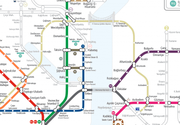
Metro
- Yeşilpınar • Lines: M7 (12 min walk)
- Veysel Karani-Akşemsettin • Lines: M7 (18 min walk)
Bus
- Karadolap Mahallesi (25 min walk)
- Gaziosmanpaşa Devlet Hastanesi • Lines: Mk32 (30 min walk)
Light rail
- Ali Fuat Başgil • Lines: T4 (30 min walk)
Tram
- Ali Fuat Başgil • Lines: T4 (30 min walk)
- Bosna-Çukurçeşme • Lines: T4 (31 min walk)
 Metro
Metro