Ümraniye, Istanbul
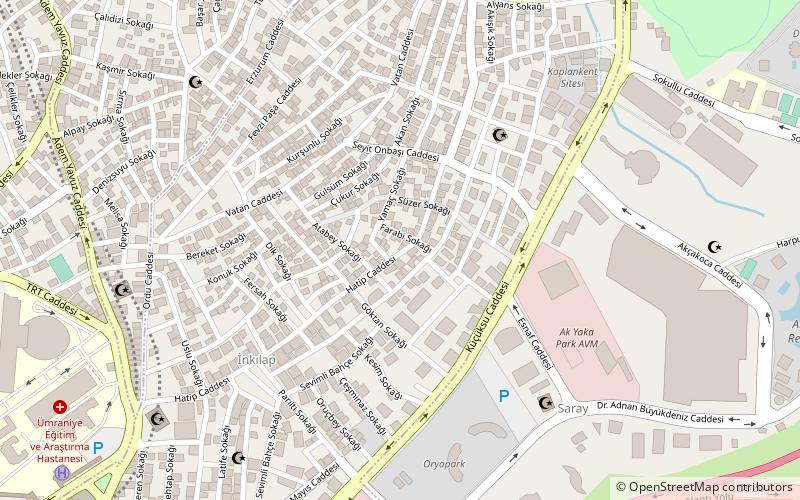
Map
Facts and practical information
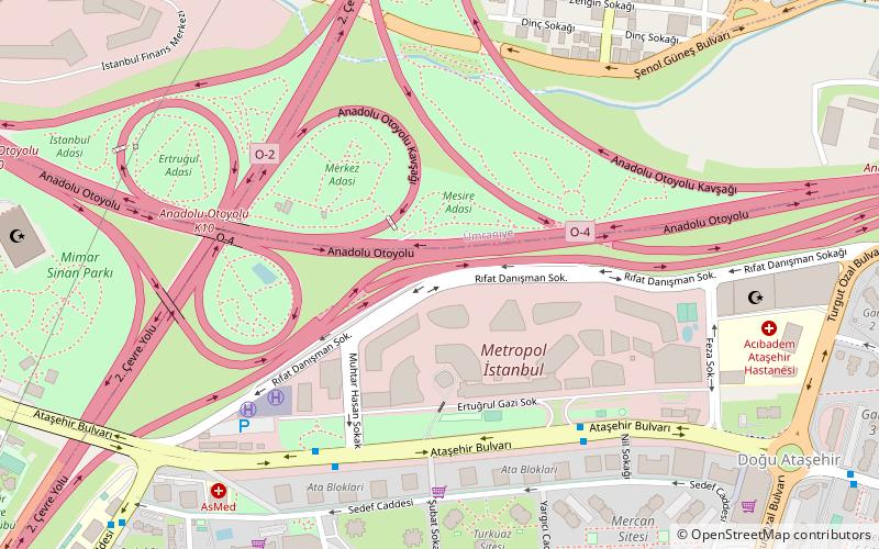
Ümraniye is a district of Istanbul. It was separated from Üsküdar in 1987. It is bordered by Çekmeköy to the northeast, Sancaktepe to the east, Ataşehir to the south, Üsküdar to the west and Beykoz to the northwest. ()
Address
Ümraniye (İnkilap)Istanbul
ContactAdd
Social media
Add
Day trips
Ümraniye – popular in the area (distance from the attraction)
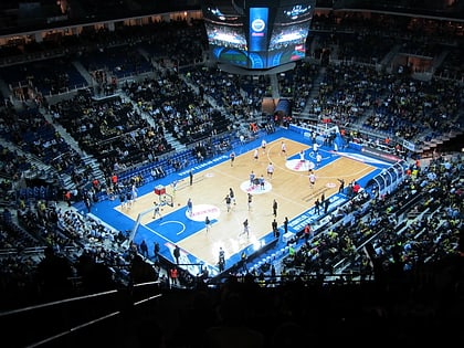
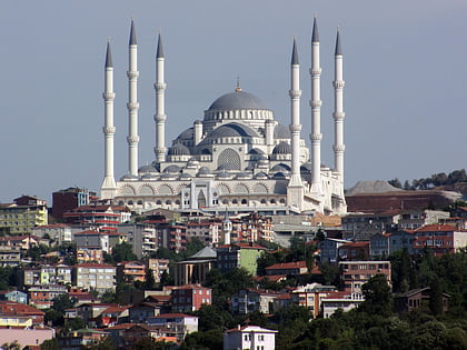
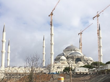
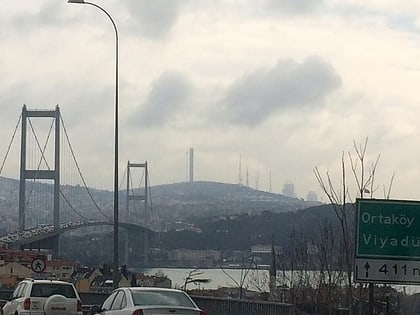
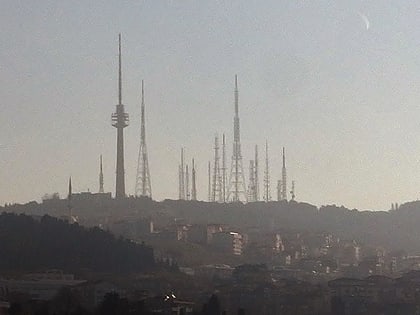
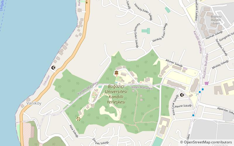
Nearby attractions include: Ülker Sports Arena, Çamlıca Hill, Çamlıca Cami, Badawi Tekke of Beylerbeyi.
Frequently Asked Questions (FAQ)
How to get to Ümraniye by public transport?
The nearest stations to Ümraniye:
Metro
Bus
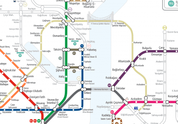
Metro
- Yamanevler • Lines: M5 (19 min walk)
- Çarşı • Lines: M5 (22 min walk)
Bus
- Şehit Onur Kılıç • Lines: 139 (20 min walk)
- Atakent • Lines: 139 (21 min walk)
 Metro
Metro