Tepebağ, Adana
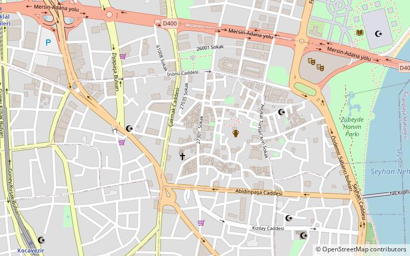
Map
Gallery
Facts and practical information
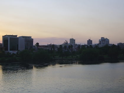
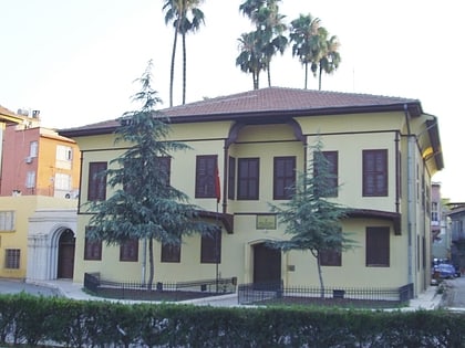
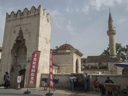
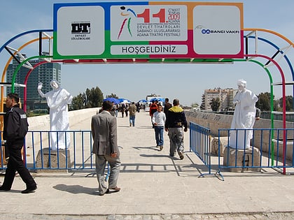
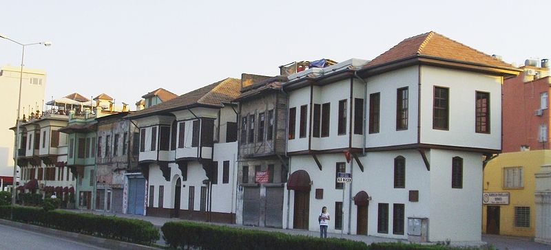
Tepebağ is a historical neighborhood in the old town of Adana. It is situated on a hill overlooking the Seyhan River on the west, steps away from the Taşköprü, and reflects the traditional housing architecture of the city. Tumulus at Tepebağ is the area of the first settlements in Adana. ()
Coordinates: 36°59'18"N, 35°19'37"E
Address
Adana
ContactAdd
Social media
Add
Day trips
Tepebağ – popular in the area (distance from the attraction)
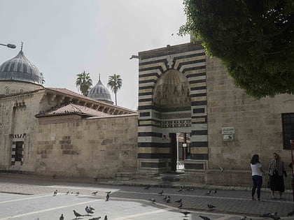
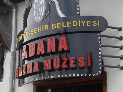
Nearby attractions include: Sabancı Central Mosque, Ramazanoglu Mosque, Merkez Park, Adana Sinema Müzesi.
Frequently Asked Questions (FAQ)
Which popular attractions are close to Tepebağ?
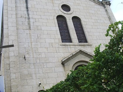
Nearby attractions include Saint Paul Church, Adana (3 min walk), Adana Sinema Müzesi, Adana (5 min walk), Adana Ethnography Museum, Adana (6 min walk), Ramazanoglu Mosque, Adana (6 min walk).
How to get to Tepebağ by public transport?
The nearest stations to Tepebağ:
Metro
Bus
Train
Metro
- Kocavezir • Lines: M1 (13 min walk)
- İstiklal • Lines: M1 (14 min walk)
Bus
- Yüreğir Otogarı (25 min walk)
Train
- Adana (29 min walk)
