Karataş, Izmir
Map
Facts and practical information
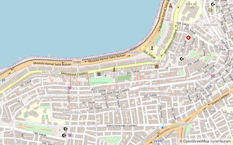
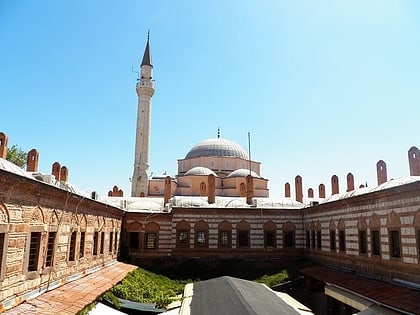
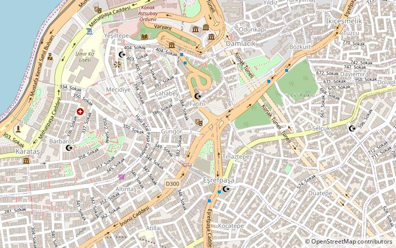
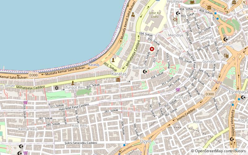
Karataş is a neighborhood of İzmir, Turkey, within the boundaries of the city's central metropolitan district of Konak. The neighborhood no longer has an official delimitation or status and exists as a notional zone that is admitted to stretch along the small cove of the same name in the Gulf of İzmir. Its area roughly corresponds to the officially delimited quarter named Turgut Reis. The inhabitants, among whom neighborhood pride is quite developed, also usually declare living in Karataş. ()
Coordinates: 38°24'35"N, 27°7'15"E
Address
Izmir
ContactAdd
Social media
Add
Day trips
Karataş – popular in the area (distance from the attraction)
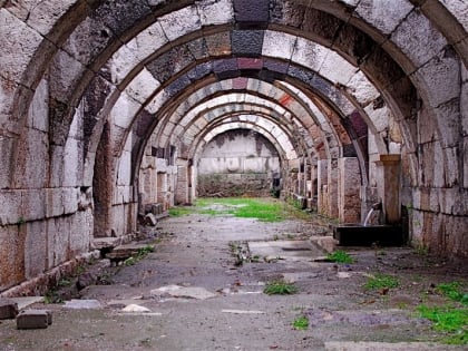
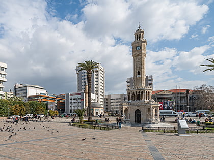
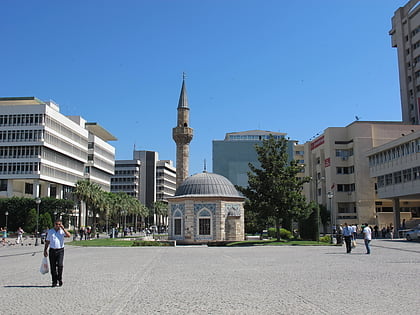
Nearby attractions include: Agora of Smyrna, Konak Square, Yalı Mosque, Izmir.
Frequently Asked Questions (FAQ)
Which popular attractions are close to Karataş?
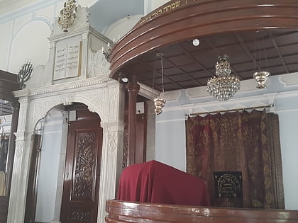
Nearby attractions include Avrasya Anı Evi, Izmir (5 min walk), Bet Israel Synagogue, Izmir (7 min walk), Selahattin Akçiçek Kültür Merkezi, Izmir (10 min walk), İzmir Toy Museum, Izmir (11 min walk).
How to get to Karataş by public transport?
The nearest stations to Karataş:
Tram
Bus
Metro
Ferry
Tram
- Karataş • Lines: T2 (4 min walk)
- Konak İskele • Lines: T2 (19 min walk)
Bus
- Üçyol • Lines: 255 (7 min walk)
- Eşrefpaşa • Lines: 104, 171, 70, 72 (11 min walk)
Metro
- Üçyol • Lines: M1 (7 min walk)
- Konak • Lines: M1 (17 min walk)
Ferry
- Konak Vapur İskelesi (18 min walk)
