Acıbadem, Istanbul
Map
Facts and practical information
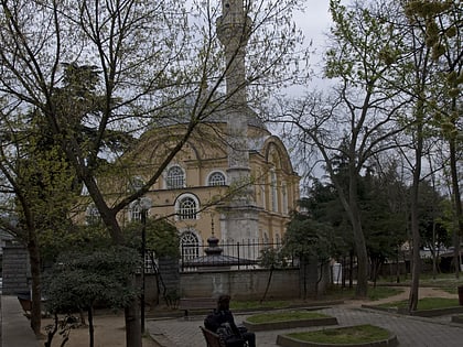
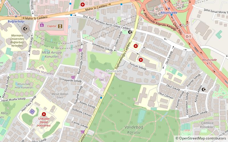
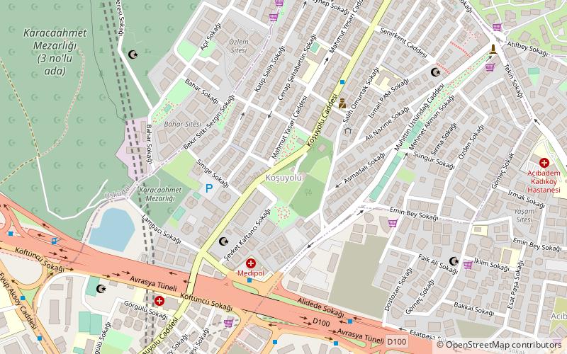
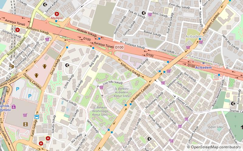
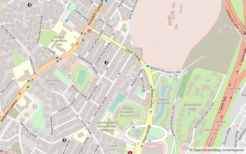
Acıbadem is a neighbourhood of Üsküdar district, Istanbul. Acıbadem is bordered on the east by Ünalan, on the west by Altunizade, on the north by Küçükçamlıca, and on the south by Hasanpaşa. ()
Coordinates: 41°0'22"N, 29°3'10"E
Address
Üsküdar (Acıbadem)Istanbul
ContactAdd
Social media
Add
Day trips
Acıbadem – popular in the area (distance from the attraction)
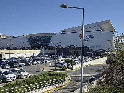
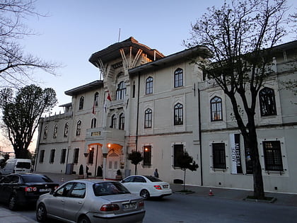
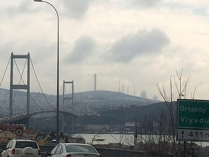
Nearby attractions include: Capitol Shopping Center, Tepe Nautilus, Marmara University, Küçük Çamlıca TV Radio Tower.
Frequently Asked Questions (FAQ)
How to get to Acıbadem by public transport?
The nearest stations to Acıbadem:
Bus
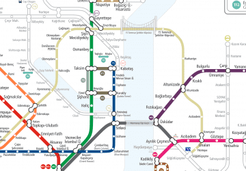
Metro
Train
Bus
- Şehit Murat Naiboğlu • Lines: 1 (6 min walk)
- Türk Telekom • Lines: 1, 3A (7 min walk)
Metro
- Acıbadem • Lines: M4 (14 min walk)
- Ünalan • Lines: M4 (18 min walk)
Train
- Söğütlüçeşme (34 min walk)
 Metro
Metro
