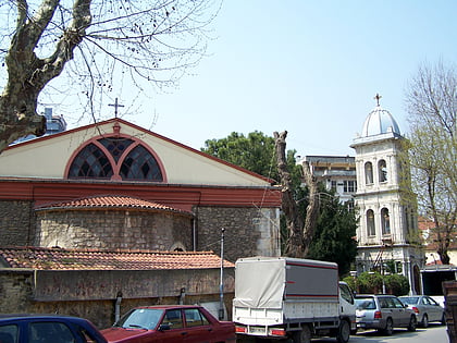
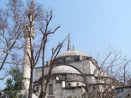
İcadiye, Istanbul
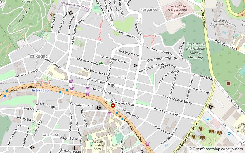
Map
Facts and practical information
İcadiye is a neighborhood in the Üsküdar municipality on the Asian side of Istanbul, Turkey. It is centered on İcadiye Hill and is bordered on the north by Kuzguncuk, on the east by Altunizade, on the south by Selami Ali, and on the west by Sultantepe. It is mostly a residential neighborhood, with a few historic houses and buildings. ()
Coordinates: 41°1'43"N, 29°2'3"E
Address
Üsküdar (İcadiye)Istanbul
ContactAdd
Social media
Add
Day trips
İcadiye – popular in the area (distance from the attraction)
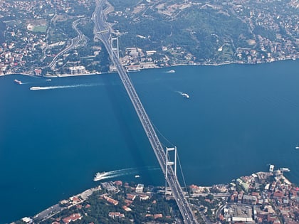
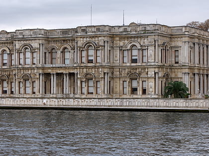
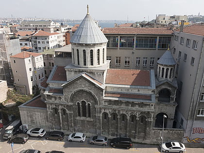
Nearby attractions include: Bosphorus Bridge, Beylerbeyi Palace, Capitol Shopping Center, Surp Krikor Lusavoriç Armenian Church.
Frequently Asked Questions (FAQ)
Which popular attractions are close to İcadiye?
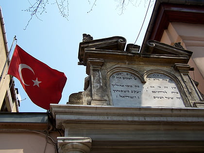
Nearby attractions include Bet Nissim Synagogue, Istanbul (9 min walk), Üsküdar, Istanbul (11 min walk), Agios Panteleimonas Greek Orthodox Church, Istanbul (12 min walk), Fethipaşa Korusu, Istanbul (13 min walk).
How to get to İcadiye by public transport?
The nearest stations to İcadiye:
Bus
Metro
Ferry
Train
Bus
- Kuruçeşme • Lines: 139, 2 (4 min walk)
- Fıstıkağacı • Lines: 139, 2 (6 min walk)
Metro
- Fıstıkağacı • Lines: M5 (8 min walk)
- Bağlarbaşı • Lines: M5 (13 min walk)
Ferry
- Üsküdar (25 min walk)
Train
- Üsküdar (29 min walk)
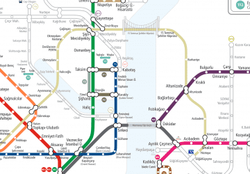 Metro
Metro