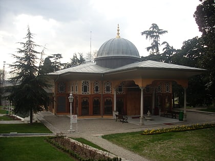
Sufi Trail, Istanbul
Map
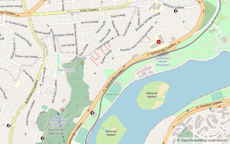
Map

Facts and practical information
The Sufi Trail is an 801-kilometre long-distance footpath in Western Turkey from Istanbul to Konya following the Ottoman Sultans Hajj route. The Sufi Trail connects to the Sultans Trail, a long-distance footpath from Vienna to Istanbul. After Konya Sufi Trail connects with the ancient road to Jerusalem and Mecca via Jerusalem way and Mecca Trail. ()
Coordinates: 41°3'21"N, 28°56'15"E
Address
Eyüp (Eyüp Merkez)Istanbul
ContactAdd
Social media
Add
Day trips
Sufi Trail – popular in the area (distance from the attraction)
Nearby attractions include: Miniatürk, Eyüp Sultan Mosque, Rahmi M. Koç Müzesi, Pierre Loti Tepesi.
Frequently Asked Questions (FAQ)
Which popular attractions are close to Sufi Trail?
Nearby attractions include Pierre Loti Tepesi, Istanbul (6 min walk), Eyüp Cemetery, Istanbul (7 min walk), Sütlüce (10 min walk), Eyüp Sultan Mosque, Istanbul (15 min walk).
How to get to Sufi Trail by public transport?
The nearest stations to Sufi Trail:
Tram
Bus
Light rail
Tram
- Eyüpsultan Devlet Hastanesi • Lines: T5 (6 min walk)
- Silahtarağa Mahallesi • Lines: T5 (18 min walk)
Bus
- Bademlik • Lines: 500T (15 min walk)
- Halıcıoğlu • Lines: 34, 34As, Metrobüs (17 min walk)
Light rail
- Rami • Lines: T4 (34 min walk)
- Topçular • Lines: T4 (35 min walk)

 Metro
Metro
