Rumelikavağı
Map
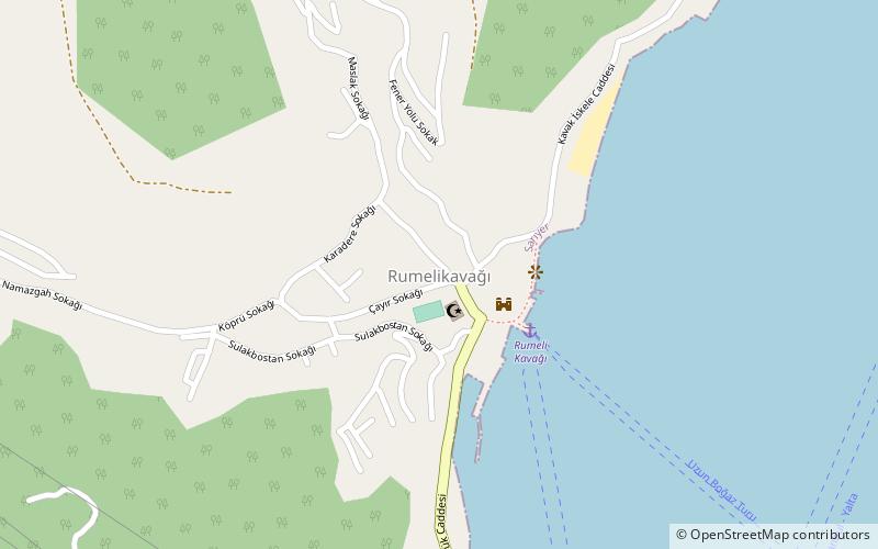
Map

Facts and practical information
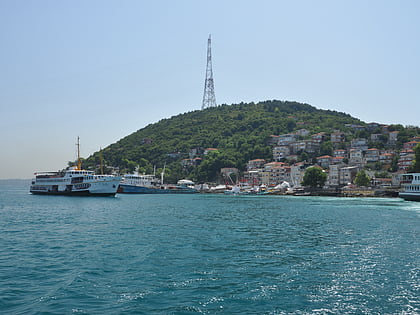
Rumelikavağı, also known as Rumeli Kavağı, is a neighborhood of Sarıyer district in İstanbul Province, Turkey. "Rumeli" is the Turkish name for Thrace, and "Kavak" means "control post" in Ottoman Turkish referring to the strategic position of the location on the Bosporous. The ferry pier which is the center of the neighborhood is at 41°10′54″N 29°04′30″E ()
Coordinates: 41°10'57"N, 29°4'24"E
Location
Istanbul
ContactAdd
Social media
Add
Day trips
Rumelikavağı – popular in the area (distance from the attraction)
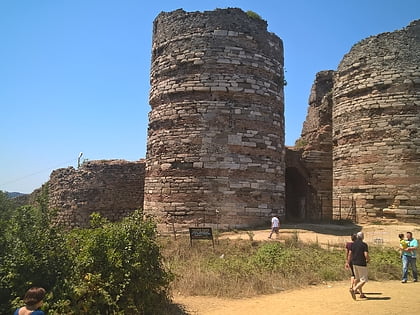
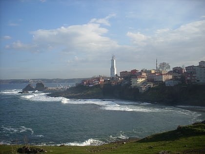
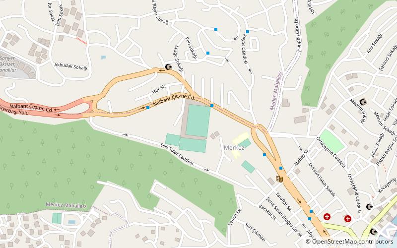
Nearby attractions include: Yoros Castle, Anadolukavağı, Rumelifeneri, Yusuf Ziya Öniş Stadium.
