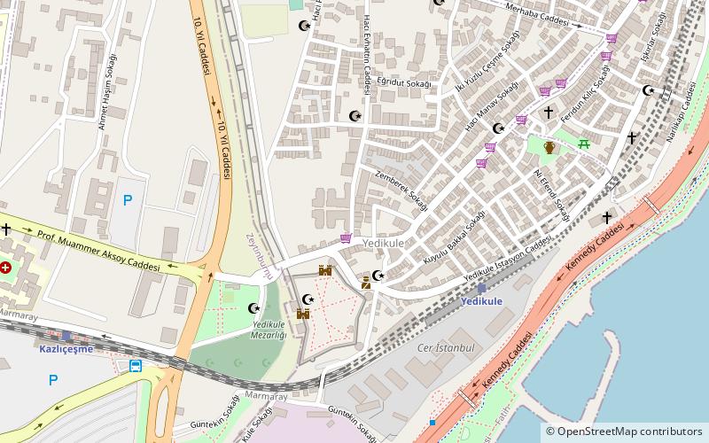
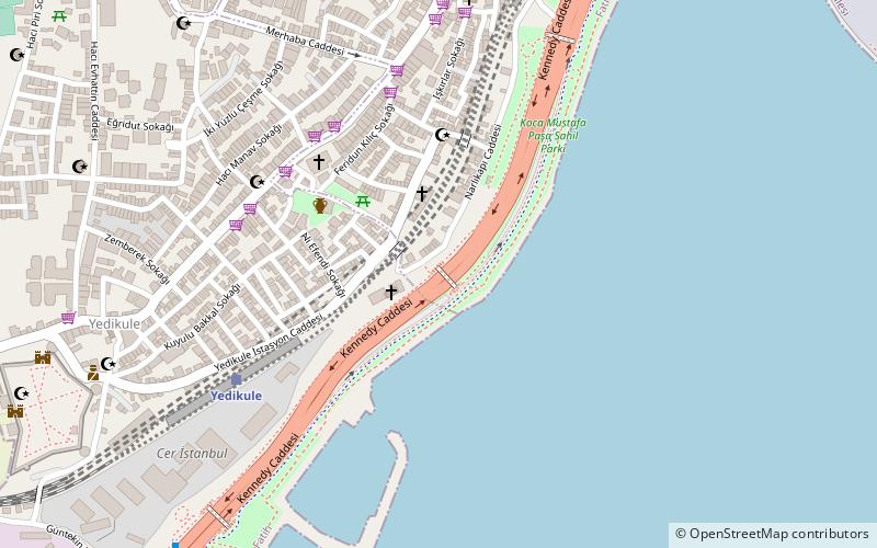
Kazlıçeşme, Istanbul
Map
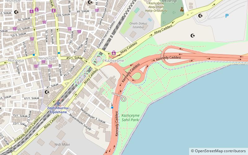
Gallery
Facts and practical information
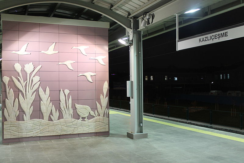
Kazlıçeşme is one of the seven neighborhoods of Zeytinburnu district in Istanbul, Turkey. Chartered in 1957, it is the largest neighborhood of Zeytinburnu. The locality took its name from the historic fountain with a relief goose figure below the fountain's inscription, which dates it back to Hijri year AH 953. ()
Coordinates: 40°59'14"N, 28°54'36"E
Address
Zeytinburnu (Kazlıçeşme)Istanbul
ContactAdd
Social media
Add
Day trips
Kazlıçeşme – popular in the area (distance from the attraction)
Nearby attractions include: Olivium Outlet Center, Monastery of Stoudios, Koca Mustafa Pasha Mosque, Church of St. George of Samatya.
Frequently Asked Questions (FAQ)
Which popular attractions are close to Kazlıçeşme?
Nearby attractions include Zeytinburnu, Istanbul (16 min walk), Yedikule (23 min walk).
How to get to Kazlıçeşme by public transport?
The nearest stations to Kazlıçeşme:
Train
Bus
Tram
Metro
Train
- Zeytinburnu (7 min walk)
- Kazlıçeşme (14 min walk)
Bus
- Kazlıçeşme Peronları (15 min walk)
- Zey port (24 min walk)
Tram
- Akşemsettin • Lines: T1 (31 min walk)
- Mithatpaşa • Lines: T1 (32 min walk)
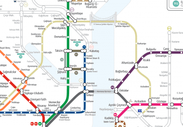
Metro
- Zeytinburnu • Lines: M1A (38 min walk)

 Metro
Metro


