Üsküdar Ferry Terminal, Istanbul
Map
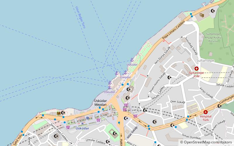
Map

Facts and practical information
The Üsküdar Ferry Terminal, also known as the Üsküdar Pier, is a ferry terminal in Üsküdar, Istanbul, located along Paşa Limanı Avenue on the Bosporus strait. It is used by Municipal Şehir Hatları ferries as well as private Dentur ferries. Şehir Hatları ferries operate to several piers along the Bosporus and Golden Horn, while Dentur operates frequent ferry service to Kabataş and Beşiktaş. ()
Coordinates: 41°1'41"N, 29°0'55"E
Address
Üsküdar (Mimar Sinan)Istanbul
ContactAdd
Social media
Add
Day trips
Üsküdar Ferry Terminal – popular in the area (distance from the attraction)
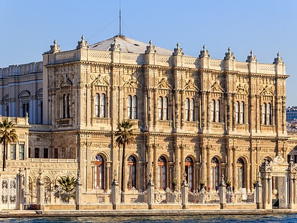
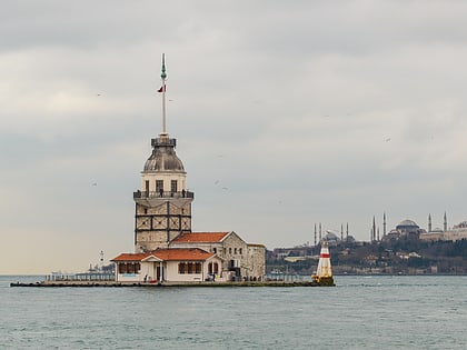
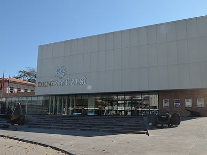
Nearby attractions include: Dolmabahçe Palace, Maiden's Tower, Naval Museum, Milli Saraylar.
Frequently Asked Questions (FAQ)
Which popular attractions are close to Üsküdar Ferry Terminal?
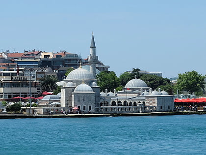
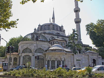
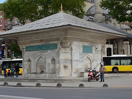
Nearby attractions include Fountain of Ahmed III, Istanbul (3 min walk), Mihrimah Sultan Mosque, Istanbul (3 min walk), Yeni Valide Mosque, Istanbul (6 min walk), Şemsi Paşa Camii, Istanbul (7 min walk).
How to get to Üsküdar Ferry Terminal by public transport?
The nearest stations to Üsküdar Ferry Terminal:
Ferry
Bus
Train
Metro
Aerialway
Ferry
- Üsküdar (1 min walk)
- Beşiktaş (25 min walk)
Bus
- Üsküdar Marmaray • Lines: 139, 2 (4 min walk)
- Horhor • Lines: 139, 2 (7 min walk)
Train
- Üsküdar (6 min walk)
Metro
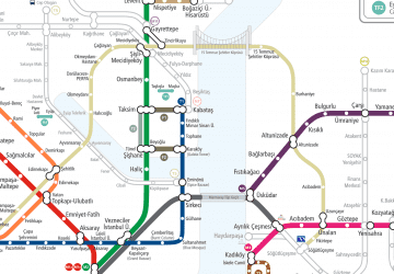
- Üsküdar • Lines: M5 (6 min walk)
- Fıstıkağacı • Lines: M5 (18 min walk)
Aerialway
- Maçka • Lines: TF1 Maçka - Taşkışla (41 min walk)

 Metro
Metro