Port of Haydarpaşa, Istanbul
Map
Gallery
Facts and practical information
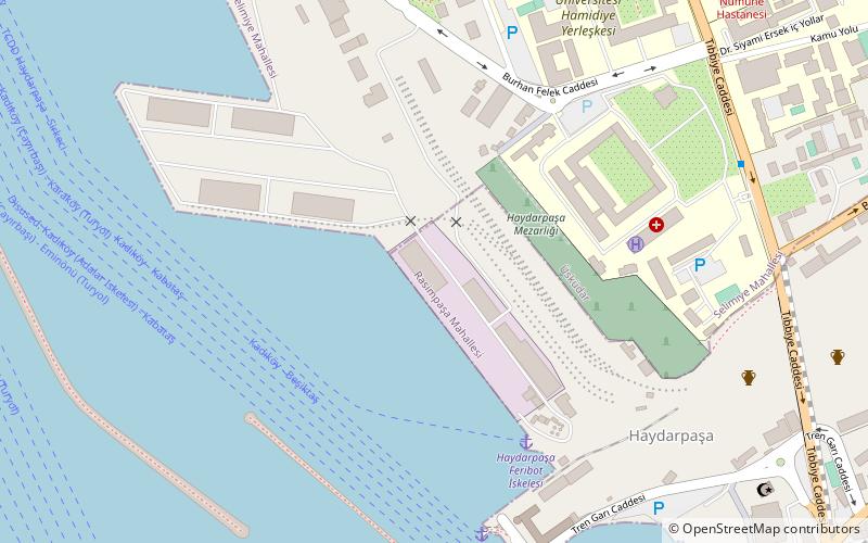
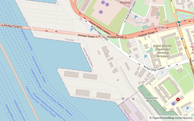
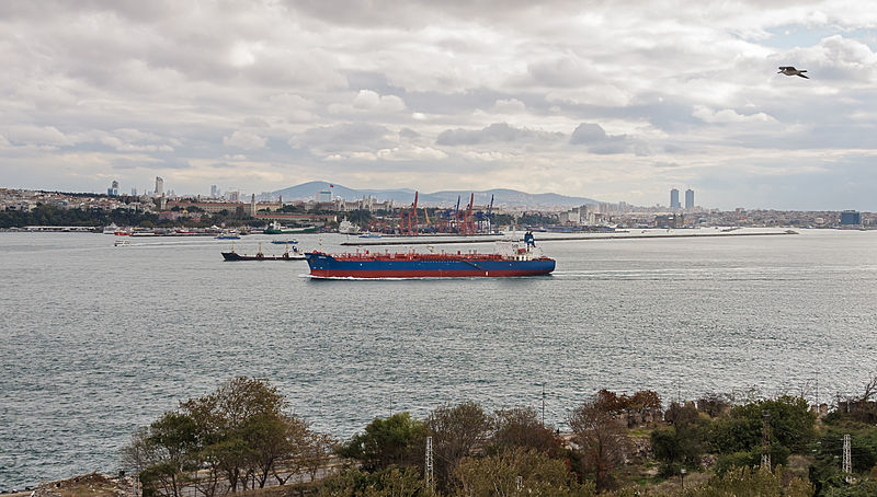
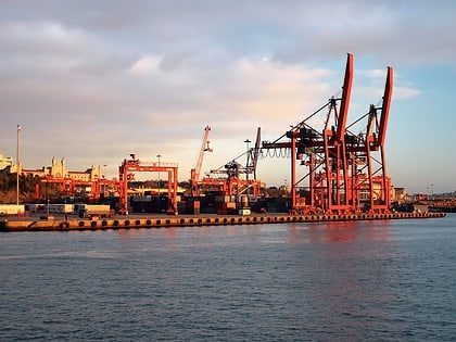
The Port of Haydarpaşa, also known as the Port of Haidar Pasha is a general cargo seaport, ro-ro and container terminal, situated in Haydarpaşa, Istanbul, Turkey at the southern entrance to the Bosphorus. The port is operated by the Turkish State Railways and serves a hinterland which includes the country's most industrialized areas. ()
Local name: Haydarpaşa LimanıOpened: 1899 (127 years ago)Coordinates: 41°0'12"N, 29°0'50"E
Address
Selimiye Mh. Burhan Felek Cd. KadıköyÜsküdar (Selimiye)Istanbul 34710
Contact
Social media
Add
Day trips
Port of Haydarpaşa – popular in the area (distance from the attraction)
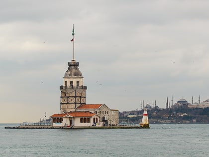
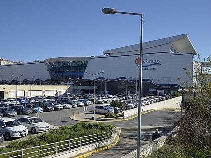
Nearby attractions include: Maiden's Tower, Tepe Nautilus, Haldun Taner Sahnesi, Şakirin Camii.
Frequently Asked Questions (FAQ)
Which popular attractions are close to Port of Haydarpaşa?
Nearby attractions include Haydarpaşa, Istanbul (7 min walk), Haydarpaşa Cemetery, Istanbul (11 min walk), Selimiye Mosque, Istanbul (13 min walk), Karacaahmet Cemetery, Istanbul (16 min walk).
How to get to Port of Haydarpaşa by public transport?
The nearest stations to Port of Haydarpaşa:
Bus
Ferry
Metro
Tram
Bus
- İETT Harem Peronları (8 min walk)
- Harem (8 min walk)
Ferry
- Haydarpaşa Garı (14 min walk)
- Havabüs Durağı (22 min walk)
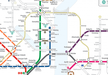
Metro
- Ayrılık Çeşmesi • Lines: M4 (23 min walk)
- Kadıköy • Lines: M4 (25 min walk)
Tram
- İskele Cami • Lines: T3 (26 min walk)
- Kadıköy - İDO- Metro • Lines: T3 (26 min walk)
 Metro
Metro