
Lira Travel Guide
| Today in Uganda: Eid al-Fitr (20 Mar) |
Facts and practical information
Lira, located in the northern region of Uganda, is a city that offers a unique blend of cultural, historical, and natural attractions. One of the most iconic landmarks in Lira is the Lango Cultural Foundation, a center dedicated to preserving and promoting the rich cultural heritage of the Lango people. Visitors can immerse themselves in traditional music, dance, and storytelling, gaining insight into the customs and traditions of this vibrant community.
For those interested in history, the Lira District Museum provides a fascinating glimpse into the region's past, with exhibits showcasing artifacts and photographs that trace the city's evolution over time. The museum also offers guided tours, providing visitors with a deeper understanding of Lira's historical significance.
Nature enthusiasts will find plenty to explore in and around Lira, with the beautiful Lira Golf Course offering a picturesque setting for a leisurely round of golf. For a more immersive outdoor experience, the nearby Lira Community Trail provides opportunities for hiking and birdwatching, allowing visitors to appreciate the natural beauty of the surrounding landscape.
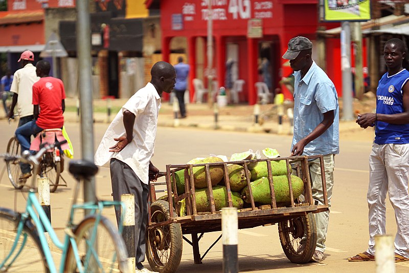
In addition to its cultural and natural attractions, Lira also boasts a vibrant market scene, where visitors can browse an array of locally made crafts, artwork, and traditional textiles. The bustling atmosphere of the markets provides a glimpse into everyday life in Lira, and offers a chance to interact with local artisans and vendors.
Region: Lira
Lira Attractions - What to See and Explore
Lira offers many attractions and places to visit. Here are the most important ones: All Saints University. Below you will find a complete list of places worth visiting.
Best Time To Visit Lira
Learn when is the best time to travel to Lira weather-wise and what to expect in each season.