
Masaka Travel Guide
Facts and practical information
Masaka, located in southern Uganda, is a vibrant city known for its rich cultural heritage and beautiful natural surroundings. The city is situated on the shores of Lake Victoria, the largest lake in Africa, offering stunning views and plenty of opportunities for water-based activities.
One of the main attractions in Masaka is the Kitovu Mobile Farm, a sustainable farming project that aims to improve food security and livelihoods in the region. Visitors can take a tour of the farm and learn about organic farming practices, as well as participate in hands-on activities such as planting and harvesting crops.
For those interested in history and culture, the Masaka Catholic Cathedral is a must-see. This stunning architectural masterpiece is a symbol of the city's strong religious heritage and offers a peaceful retreat for visitors to admire its intricate design and serene atmosphere.
Nature lovers will also find plenty to explore in Masaka, with the nearby Ssese Islands providing a serene escape from the hustle and bustle of the city. The islands are home to pristine beaches, lush forests, and colorful wildlife, making them the perfect destination for hiking, birdwatching, and relaxation.
In addition to its natural beauty and cultural attractions, Masaka is also known for its lively markets and bustling streets, where visitors can immerse themselves in the local way of life. From sampling traditional Ugandan cuisine to browsing for handmade crafts and souvenirs, there's no shortage of things to see and do in this vibrant city.
Region: Masaka
Masaka Attractions - What to See and Explore
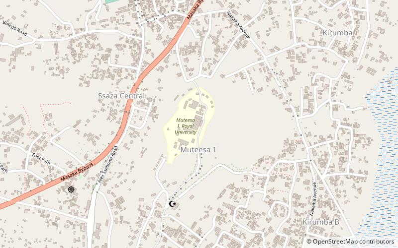
Masaka offers many attractions and places to visit. Here are the most important ones: Muteesa I Royal University. Below you will find a complete list of places worth visiting.
Best Time To Visit Masaka
Learn when is the best time to travel to Masaka weather-wise and what to expect in each season.