Trek Zone

Lugazi

#95 among destinations in Uganda

Locality
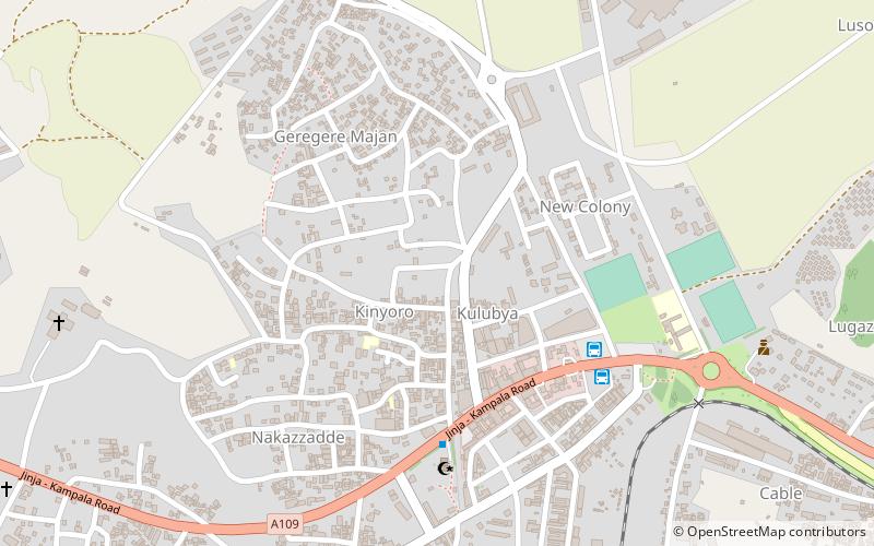
Lugazi location map
Map

Facts and practical information

Alternative names: Population: 35 thous.Coordinates: 0°22'17"N, 32°56'8"E
Location

MukonoUganda

ContactAdd
Social media
Add
Day trips

Lugazi – popular in the area (distance from the attraction)

Nearby attractions include: Mabira Forest.
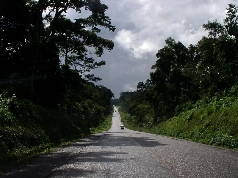
  • mabira forest5.9 miE

Where to next? Visit mukono Mukono region page or discover the top tourist attractions in Uganda.

Uganda ▪ Adjumani ▪ Apac ▪ Arua ▪ Bugiri ▪ Bundibugyo ▪ Bushenyi ▪ Busia ▪ Gulu ▪ Hoima ▪ Iganga ▪ Jinja ▪ Kabale ▪ Kabarole ▪ Kaberamaido ▪ Kalangala ▪ Kampala ▪ Kamuli ▪ Kamwenge ▪ Kanungu ▪ Kapchorwa ▪ Kasese ▪ Katakwi ▪ Kayunga ▪ Kibale ▪ Kiboga ▪ Kisoro ▪ Kitgum ▪ Kotido ▪ Kumi ▪ Kyenjojo ▪ Lake Albert ▪ Lake Victoria ▪ Lira ▪ Luwero ▪ Masaka ▪ Masindi ▪ Mayuge ▪ Mbale ▪ Mbarara ▪ Moroto ▪ Moyo ▪ Mpigi ▪ Mubende ▪ Mukono ▪ Nakapiripirit ▪ Nakasongola ▪ Nebbi ▪ Ntungamo ▪ Pader ▪ Pallisa ▪ Rakai ▪ Rukungiri ▪ Sembabule ▪ Sironko ▪ Soroti ▪ Tororo ▪ Wakiso ▪ Yumbe