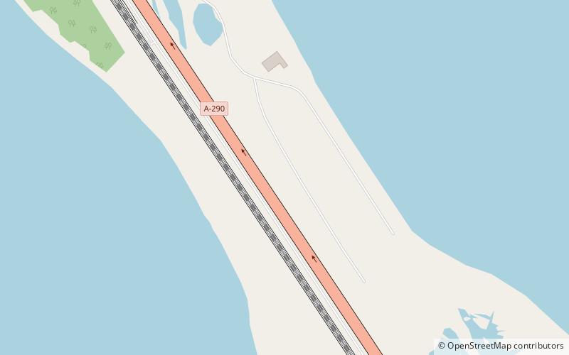
Tuzla Spit, Tuzla Island
Map
Facts and practical information
Tuzla was a long narrow peninsula or sandy spit in the eastern part of the Strait of Kerch which extended from Cape Tuzla to the north-west in the direction of the city Kerch for almost 11 km. In 1925 the spit was cut by a storm, forming Tuzla Island. The open-water channel between Tuzla Island and the Russian mainland where the spit had previously existed reached over a kilometer in width. ()
Address
Tuzla Island
ContactAdd
Social media
Add
Day trips
Tuzla Spit – popular in the area (distance from the attraction)
Nearby attractions include: Kerch Fishing Port.
