Sevastopol Bay, Sevastopol
Map

Map

Facts and practical information
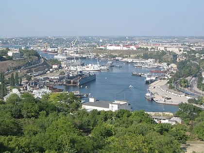
Sevastopol Bay is a city harbor that includes a series of smaller bays carved out its shores. The bay of Sevastopol splits the city of Sevastopol into the Southern side and the Northern side. It serves as an extension of the Chornaya River and stretches for 7.5 km which is the longest of them all. ()
Address
Sevastopol
ContactAdd
Social media
Add
Day trips
Sevastopol Bay – popular in the area (distance from the attraction)
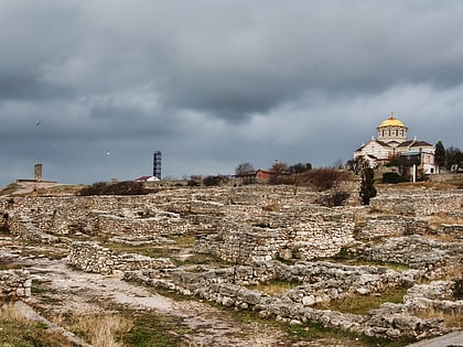
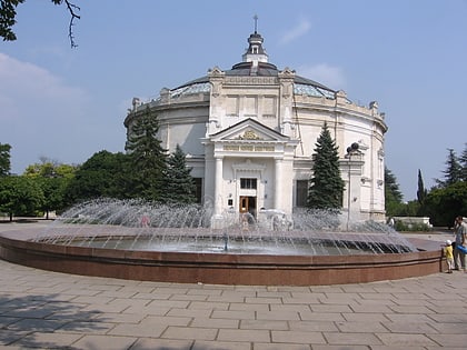
Nearby attractions include: Chersonesus, Chersonesus Cathedral, Siege of Sevastopol, St. Vladimir Cathedral.
Frequently Asked Questions (FAQ)
Which popular attractions are close to Sevastopol Bay?
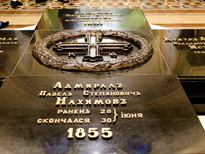
Nearby attractions include Memorial to Admiral PS Nakhomov, Sevastopol (11 min walk), Port of Sevastopol, Sevastopol (14 min walk), St. Vladimir Cathedral, Sevastopol (21 min walk).
How to get to Sevastopol Bay by public transport?
The nearest stations to Sevastopol Bay:
Bus
Trolleybus
Bus
- Нахимова площадь • Lines: 22, 94 (11 min walk)
- Дом офицеров флота • Lines: 94 (16 min walk)
Trolleybus
- Нахимова площадь • Lines: Тб-1, Тб-10, Тб-10к, Тб-12, Тб-13, Тб-3, Тб-4, Тб-5, Тб-9 (11 min walk)
- Дом офицеров флота • Lines: Тб-1, Тб-10, Тб-10к, Тб-12, Тб-13, Тб-3, Тб-4, Тб-5, Тб-9 (16 min walk)

