Kamianske Reservoir

Gallery (1)
Map
Map
Facts and practical information
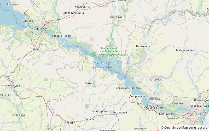
The Kamianske Reservoir is a water reservoir located on the lower part of the Dnieper River in Ukraine. Named after the name of the city of Kamianske, it covers a total area of 567 square kilometres within the Dnipropetrovsk Oblast. It was formed in 1963-1965. The reservoir is mainly used for generating hydroelectric power, transportation, fish farming, and human consumption. ()
Local name: Кам'янське водосховище Area: 218.92 mi²Length: 70.84 miWidth: 4.97 miMaximum depth: 49 ftElevation: 203 ft a.s.l.Coordinates: 48°48'28"N, 34°4'59"E
Location
Dnipropetrovsk
ContactAdd
Social media
Add