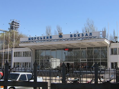
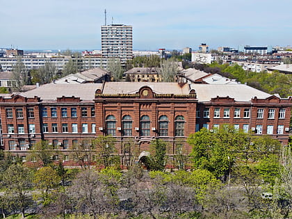
Port of Mariupol, Mariupol
Map
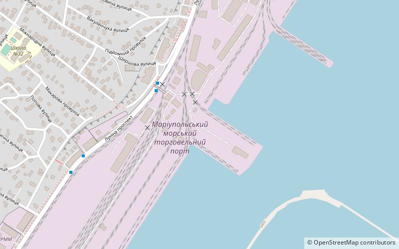
Map

Facts and practical information
The Port of Mariupol or Mariupol Sea Port is located in Mariupol, Ukraine on the north-western coast of the Taganrog Bay of the Azov Sea. The port is governed by the port authority managed by Ukrainian Sea Ports Authority. ()
Address
Mariupol
ContactAdd
Social media
Add
Day trips
Port of Mariupol – popular in the area (distance from the attraction)
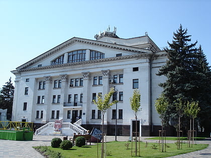
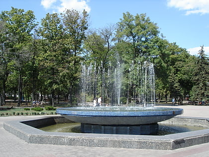
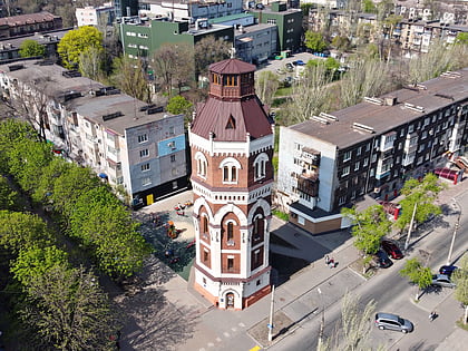
Nearby attractions include: Donetsk Regional Drama Theatre, Sultan Suleiman Mosque, City Park, Water Tower.
Frequently Asked Questions (FAQ)
How to get to Port of Mariupol by public transport?
The nearest stations to Port of Mariupol:
Bus
Trolleybus
Train
Bus
- Second Gate • Lines: 111, 154, 18П (3 min walk)
- Hospital • Lines: 111, 154, 18П (8 min walk)
Trolleybus
- Law Institute • Lines: 1, 10, 13, 2, 4, 4а, 7, 8 (11 min walk)
- Lunin Square • Lines: 1, 10, 13, 2, 4, 4а, 7, 8 (20 min walk)
Train
- Маріуполь-Порт (14 min walk)
