Mizhrichynskyi Regional Landscape Park
Map

Map

Facts and practical information
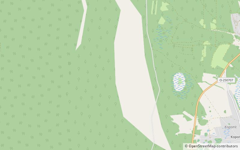
Mizhrichynskyi Regional Landscape Park is the largest regional landscape park in Ukraine. It was founded in 2002 near the village Otrokhy in Kozelets Raion of Chernihiv Oblast. It is located between two large rivers, the Dnipro and Desna, from which the park's Ukrainian name meaning "between the rivers" is derived. Mizhrichynskiy Landscape Park has an area of more than 1,000 square kilometers in the south-eastern Chernihiv region. The Desna river forms the eastern boundary of the park, while the western and southern boundaries coincide with the border of Chernihiv region. There are many swamps, bogs and lakes. ()
Local name: Міжрічинський регіональний ландшафтний парк Established: 2002 (24 years ago)Area: 304.07 mi²Elevation: 358 ft a.s.l.Coordinates: 51°2'60"N, 30°46'0"E
Location
Chernihiv
ContactAdd
Social media
Add
