Tavpis


Facts and practical information
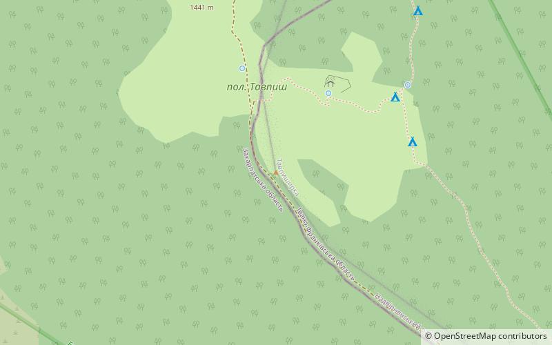
Tavpyshirka is a ridge in the Ukrainian Carpathians, in the massif of the Ґorґani. It is located on the borders of the Nadvirnyanskogo district of Ivano-Frankivsk region, to the west of the village Bistritsa.
The maximum height of the ridge is 1503 m, length - bl. 9 km. The ridge extends from the eastern approach to the eastern direction. The slopes are steep and narrow, there are meadows on the summit plots, places with rocky hills. Are seen a few gentle peaks: Tawpish and others - 1455.5 m, 1464 m, 1503 m, 1366 m.
To the east of the ridge is the Legion Pass, to the north-east - the Peclo Range. The Salatruchill waterfall is located near the ridge.
The administrative boundary between the Ivano-Frankivsk and Transcarpathian regions, which before the Second World War was the state cordon between Poland and Czechoslovakia, is located on the western part of the ridge.
A significant part of the ridge is located within the environmental territories - Tavpyshirkivsky botanical reserve, Vysokogirny dendropark and the protected tract "Tavpyshirka". From the Transcarpathian side there is a botanical reserve "Gorgany and Tavpyshirka".
Transcarpathia
Tavpis – popular in the area (distance from the attraction)
Nearby attractions include: Urvise Peklo, Gorgany, Lopusna.


