Pushkin Park, Kyiv
Map
Map

Facts and practical information
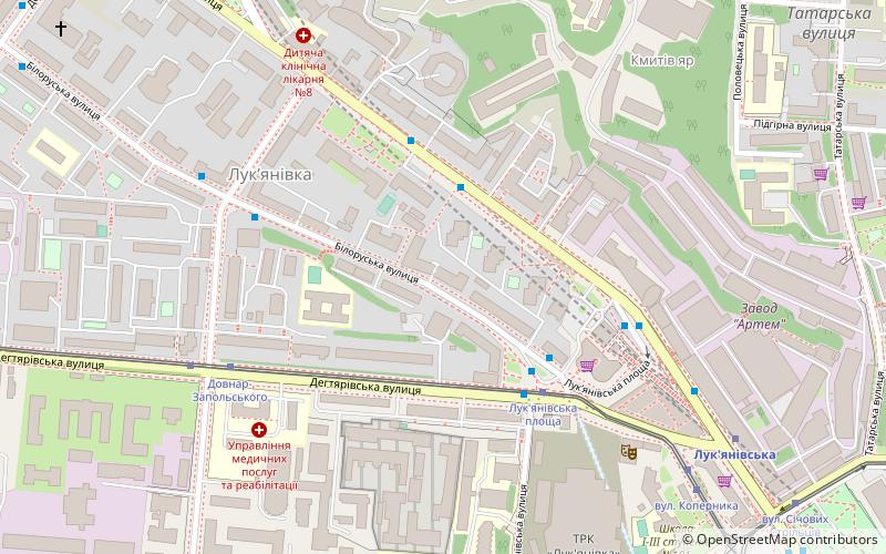
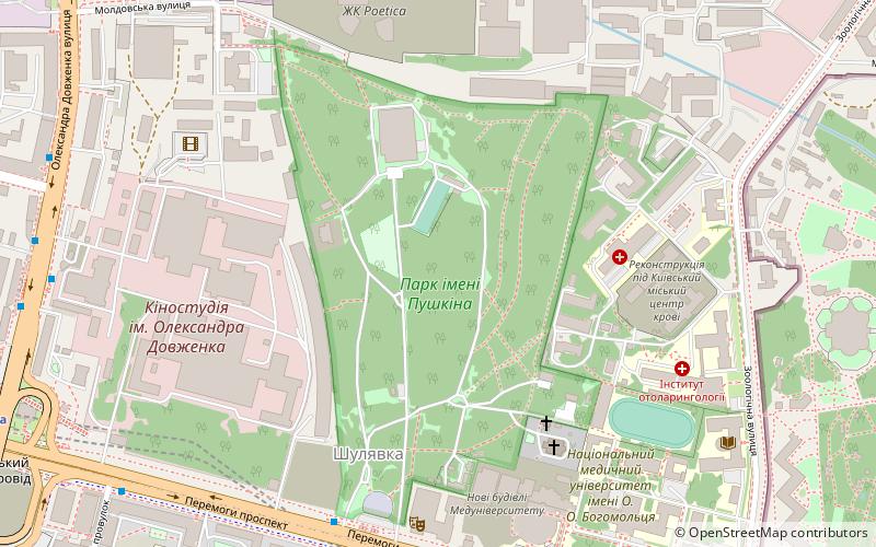
Pushkin Park, Pushkinskiy Park is a park in the Shevchenko district of Kyiv, in the area of Shulyavka. Located between the Avenue of Independence, the Dovzhenk Film Studio and the industrial area on the Degtyarivsky street.
Alternative names: Area: 54.36 acres (0.0849 mi²)Elevation: 584 ft a.s.l.Coordinates: 50°27'24"N, 30°27'16"E
Address
Шевченка (Шулявська)Kyiv
ContactAdd
Social media
Add
Day trips
Pushkin Park – popular in the area (distance from the attraction)
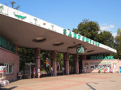
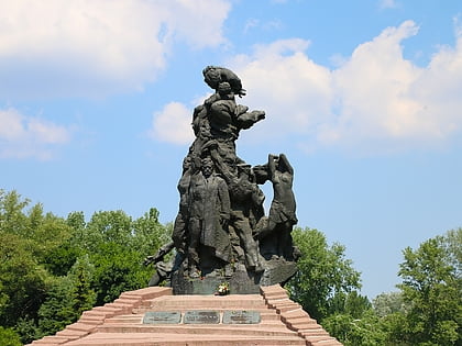
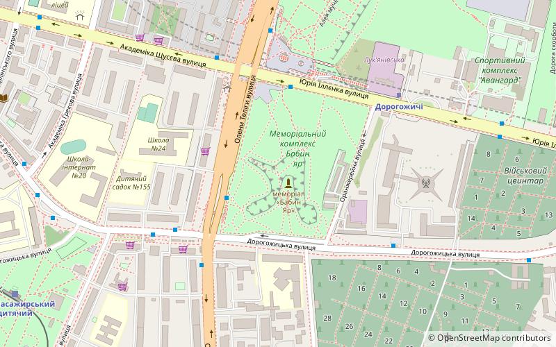
Nearby attractions include: Kyiv Zoo, Babin Yar, Sky Towers, Sevastopol Zoo.
Frequently Asked Questions (FAQ)
Which popular attractions are close to Pushkin Park?
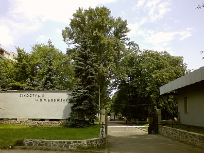
Nearby attractions include Dovzhenko Film Studios, Kyiv (6 min walk), Mosque, Kyiv (7 min walk), Bogomolets National Medical University, Kyiv (8 min walk), National Pedagogical Drahomanov University, Kyiv (9 min walk).
How to get to Pushkin Park by public transport?
The nearest stations to Pushkin Park:
Trolleybus
Bus
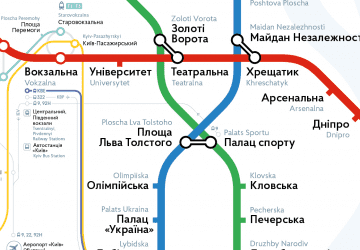
Metro
Tram
Train
Trolleybus
- Парк імені Пушкіна • Lines: 5, 7, 92Н, 93Н, 94Н (7 min walk)
- ст. м. Шулявська • Lines: 5, 7, 92Н, 93Н, 94Н (12 min walk)
Bus
- Парк імені Пушкіна • Lines: 442, 442Д (7 min walk)
- Станція метро Шулявська • Lines: Мт227 (9 min walk)
Metro
- Shuliavska • Lines: M1 (10 min walk)
- Politekhnichnyi Instytut • Lines: M1 (16 min walk)
Tram
- Likarnya • Lines: 14, 15 (12 min walk)
- Oleny Telihy • Lines: 14, 15 (12 min walk)
Train
- Вагонне Депо (24 min walk)
- Київ-Пасажирський-Дитячий (27 min walk)

 Metro
Metro