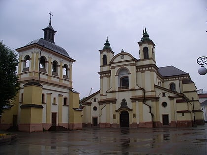
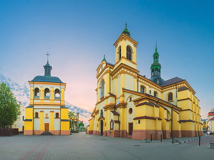
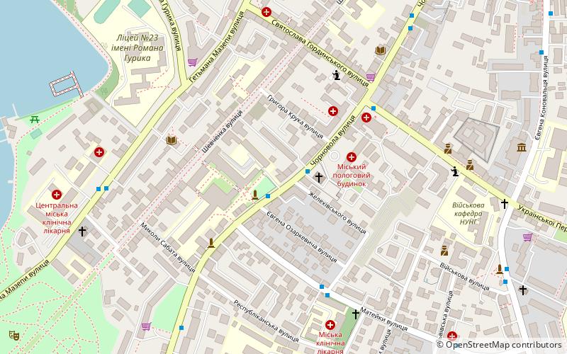
Hrushevsky Street, Ivano-Frankivsk
Map
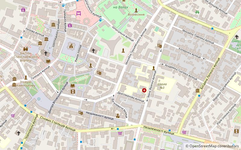
Map

Facts and practical information
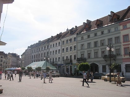
Mykhailo Hrushevsky Street is one of the most important streets located in Ivano-Frankivsk. It runs along several government institutions such as regional and city administration Bily Dim as well as the city's branch of the National Bank of Ukraine. ()
Address
Ivano-Frankivsk
ContactAdd
Social media
Add
Day trips
Hrushevsky Street – popular in the area (distance from the attraction)
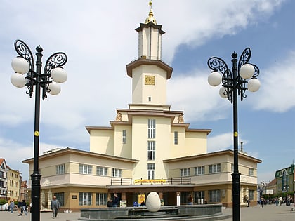
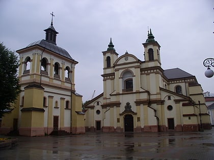
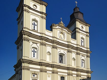
Nearby attractions include: MCS Rukh, City Hall, Church of Virgin Mary, Cathedral of the Resurrection of Christ.
Frequently Asked Questions (FAQ)
Which popular attractions are close to Hrushevsky Street?
Nearby attractions include Kafedralnij Sobor Pokrovi Presvatoi Bogorodici, Ivano-Frankivsk (3 min walk), City Hall, Ivano-Frankivsk (5 min walk), Market Square, Ivano-Frankivsk (5 min walk), Ivano-Frankivsk National Medical University, Ivano-Frankivsk (6 min walk).
How to get to Hrushevsky Street by public transport?
The nearest stations to Hrushevsky Street:
Bus
Trolleybus
Train
Bus
- Обласна друкарня, вул. Січових Стрільців • Lines: 24, 30, 35, 41К, 43, 48 (5 min walk)
- готель Надія • Lines: 21, 22, 23, 24, 26, 26А, 30, 31, 35, 37, 38, 40, 40К, 41К, 43, 44, 47, 48, 49, 53, 54, 55, 56 (7 min walk)
Trolleybus
- Ринок, вул. Дністровська • Lines: 3, 4, 5, 6 (8 min walk)
- Вокзал, Привокзальний сквер • Lines: 3, 6 (13 min walk)
Train
- Ivano-Frankivsk (14 min walk)
- Бистриця (33 min walk)


