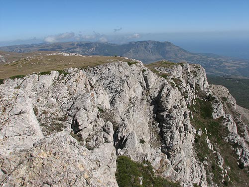
Chatyr-Dag

Gallery (4)
Map
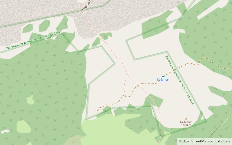
Map
Gallery
Facts and practical information
Chatyr-Dag is a mountainous massif in Crimea, near Simferopol-Alushta highway. In the Crimean Tatar language çatır means tent and dağ means mountain. ()
Local name: Чатир-Даг Area: 222.39 acres (0.3475 mi²)Elevation: 5010 ftCoordinates: 44°43'60"N, 34°17'60"E
Location
Crimea
ContactAdd
Social media
Add
Day trips


