Dnieper-Bug Estuary
Map

Map

Facts and practical information
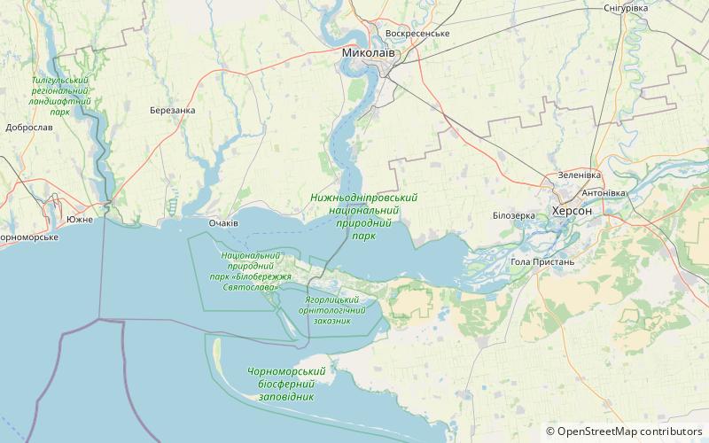
The Dnieper–Bug estuary is an open estuary, or liman, of two rivers: the Dnieper and the Southern Bug. It is located on the northern coast of the Black Sea and is separated from it by Kinburn Spit and the Cape of Ochakiv. ()
Local name: Дніпровсько-Бузький лиман Area: 308.88 mi²Length: 39.15 miWidth: 10.56 miMaximum depth: 39 ftElevation: 0 ft a.s.l.Coordinates: 46°37'0"N, 31°57'0"E
Location
Mykolayiv
ContactAdd
Social media
Add
Day trips
Dnieper-Bug Estuary – popular in the area (distance from the attraction)
Nearby attractions include: Dnieper Estuary.

