Kyiv Reservoir
Map

Map

Facts and practical information
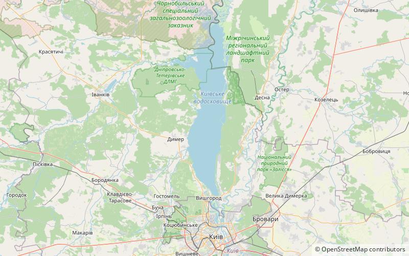
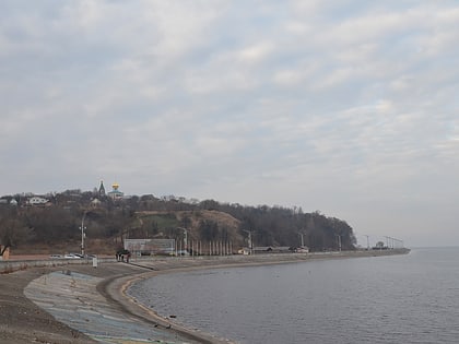
The Kyiv Cistern, locally the Kyiv Sea, is a large water reservoir located on the Dnieper River in Ukraine. Named after the city of Kyiv, which lies to the south, it covers an area of 922 square kilometres within the Kyiv Oblast. The reservoir filled in 1964–1966 after the dam for the Kyiv Hydroelectric Power Plant was built at Vyshhorod. The reservoir is mainly used for hydroelectricity generation, industrial and public consumption, and irrigation. ()
Local name: Київське водосховище Area: 355.99 mi²Length: 68.35 miWidth: 7.46 miMaximum depth: 26 ftElevation: 322 ft a.s.l.Coordinates: 50°49'12"N, 30°27'49"E
Location
Kiev
ContactAdd
Social media
Add
