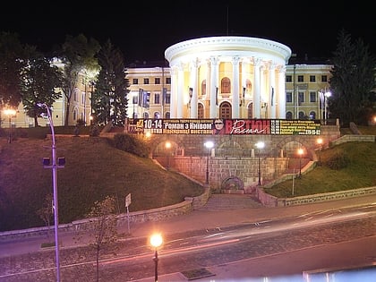
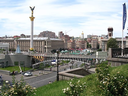
Desnianskyi District, Kyiv
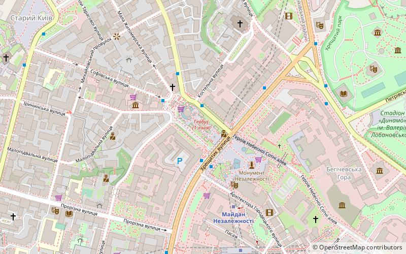
Map
Facts and practical information
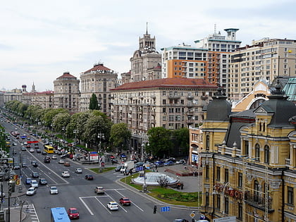
Desnianskyi District is an administrative raion of the city of Kyiv, the capital of Ukraine. It is located in the north-eastern part of the city on the Left Bank of the Dnieper River and is the most populous district of Kyiv. It is also the second largest district, with the total area of ca. 14.2 ha. ()
Day trips
Desnianskyi District – popular in the area (distance from the attraction)
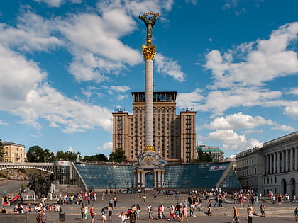
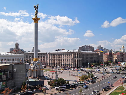
Nearby attractions include: Khreshchatyk, Independence Monument, Maidan Nezalezhnosti, National Art Museum of Ukraine.
Frequently Asked Questions (FAQ)
Which popular attractions are close to Desnianskyi District?
Nearby attractions include Vladimir Lenin monument, Kyiv (1 min walk), Kreativnoe prostranstvo "5 Art-etaz", Kyiv (1 min walk), Solomianka District, Kyiv (2 min walk), Maidan Nezalezhnosti, Kyiv (2 min walk).
How to get to Desnianskyi District by public transport?
The nearest stations to Desnianskyi District:
Metro
Trolleybus
Train
Bus
Tram
Metro
- Maidan Nezalezhnosti • Lines: M2 (5 min walk)
- Khreschatyk • Lines: M1 (7 min walk)
Trolleybus
- Софійська площа • Lines: 16, 18 (9 min walk)
- пл. Бессарабська • Lines: 17, 5, 7, 8, 93Н (16 min walk)
Train
- Верхня станція (12 min walk)
- Нижня станція (15 min walk)
Bus
- ст. м. Палац Спорту • Lines: А69 (22 min walk)
- вул. Борисоглібська • Lines: А114 (26 min walk)
Tram
- Kontraktova Square • Lines: 11, 12, 14, 18, 19 (27 min walk)
- Smyrnova-Lastochkina • Lines: 14, 18 (29 min walk)
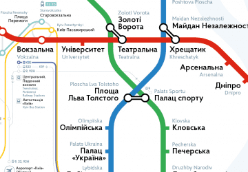 Metro
Metro