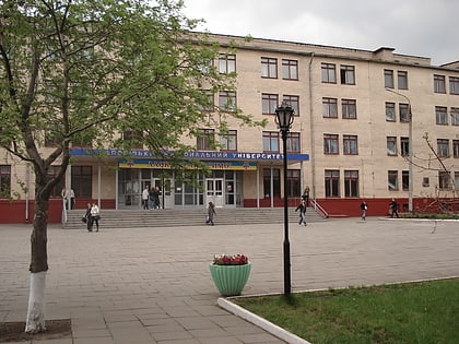
Zaporizhzhia Arch Bridge, Zaporizhzhia
Map
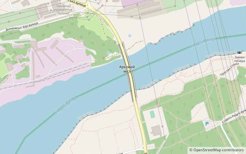
Map

Facts and practical information
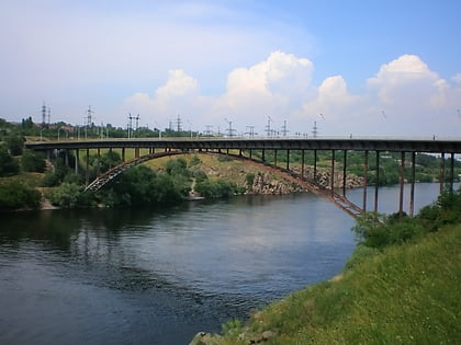
Zaporizhzhia Arch Bridge is the longest arch bridge in Ukraine. The bridge connects the west bank area of Zaporizhzhia with the north side of Khortytsia Island by spanning the smaller eastern branch of the River Dnieper. ()
Address
Zaporizhzhia
ContactAdd
Social media
Add
Day trips
Zaporizhzhia Arch Bridge – popular in the area (distance from the attraction)
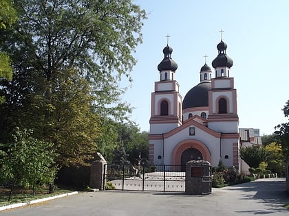
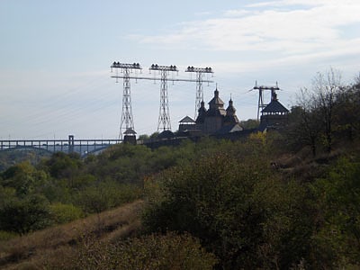
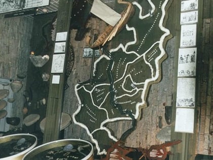
Nearby attractions include: Co-Cathedral of the Merciful Father, Zaporizhzhia Pylon Triple, Muzej istorii zaporizkogo kozactva, Slavutych-Arena.
Frequently Asked Questions (FAQ)
How to get to Zaporizhzhia Arch Bridge by public transport?
The nearest stations to Zaporizhzhia Arch Bridge:
Trolleybus
Bus
Train
Trolleybus
- Правобережний ринок • Lines: 2 (28 min walk)
- Зсто • Lines: 2 (29 min walk)
Bus
- ДніпроГЕС • Lines: 18 (30 min walk)
- Вул. Каховська • Lines: 18 (31 min walk)
Train
- Дніпробуд I (30 min walk)
