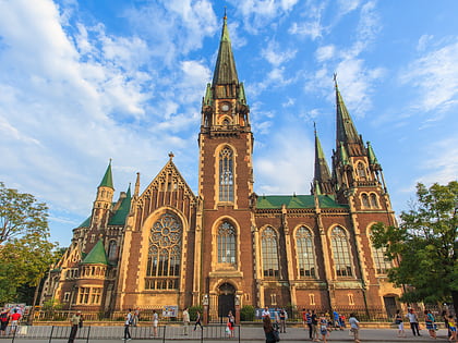
Stepan Bandera street, Lviv
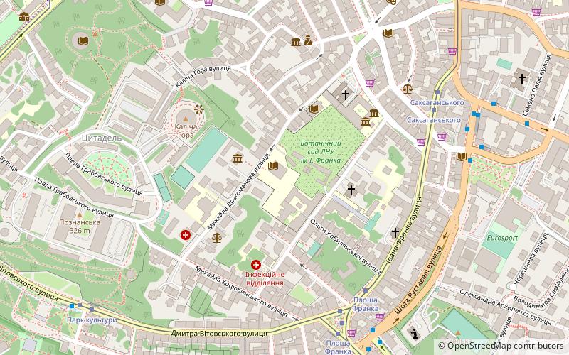
Map
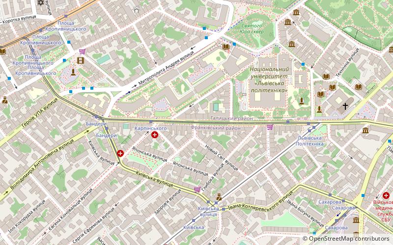
Map

Facts and practical information
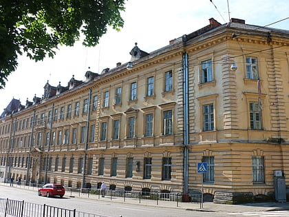
Stepan Bandera Street is one of the main streets of Lviv, Ukraine. It is located on the border of Halych and Frankivsk districts of Lviv. Bandera Street connects Kopernika and Horodotska streets. It is the border of the historical place New World. ()
Address
Lviv
ContactAdd
Social media
Add
Day trips
Stepan Bandera street – popular in the area (distance from the attraction)
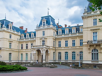
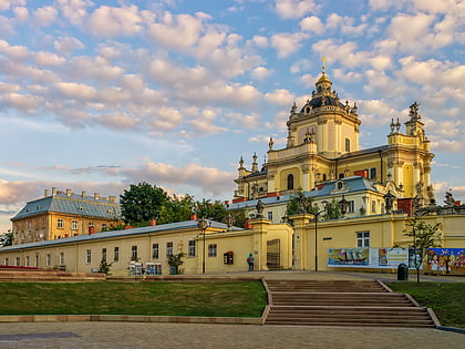
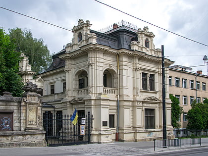
Nearby attractions include: Potocki Palace, Prison at Łąckiego, St. George's Cathedral, Sapieha Palace.
Frequently Asked Questions (FAQ)
Which popular attractions are close to Stepan Bandera street?
Nearby attractions include Lviv Polytechnic, Lviv (3 min walk), Mitropolitu Andreu Septickomu, Lviv (7 min walk), Hudozno-memorialnij muzej Oleksi Novakivskogo, Lviv (7 min walk), Stepanovi Banderi, Lviv (7 min walk).
How to get to Stepan Bandera street by public transport?
The nearest stations to Stepan Bandera street:
Tram
Bus
Train
Tram
- Київська вулиця (4 min walk)
- Kyivska (5 min walk)
Bus
- Kropyvnytskoho square • Lines: 111, 114, 121, 184а (9 min walk)
- Circus • Lines: 184а (10 min walk)
Train
- Львів-Приміський вокзал (19 min walk)
- Lviv-Golovny (22 min walk)

