Klov, Kyiv
Map

Map

Facts and practical information
Klov is a historical neighbourhood in the Ukrainian capital Kyiv. Nowadays Klov is located in the administrative Pecherskyi District. ()
Address
Печерськ (Клов)Kyiv
ContactAdd
Social media
Add
Day trips
Klov – popular in the area (distance from the attraction)
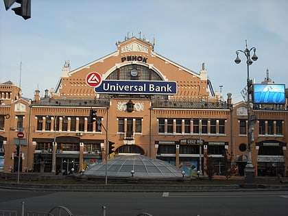
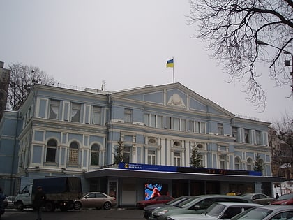
Nearby attractions include: Besarabsky Market, Gulliver Building, Palace of Sports, Central House of Officers of the Armed Forces of Ukraine.
Frequently Asked Questions (FAQ)
Which popular attractions are close to Klov?
Nearby attractions include Parus Business Centre, Kyiv (6 min walk), Klovski Descent 7, Kyiv (9 min walk), Klov Palace, Kyiv (9 min walk), State Museum of Toys, Kyiv (10 min walk).
How to get to Klov by public transport?
The nearest stations to Klov:
Metro
Bus
Trolleybus
Train
Metro
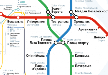
- Klovska • Lines: M3 (4 min walk)
- Palace of Sports • Lines: M3 (15 min walk)
Bus
- ст. м. Палац Спорту • Lines: А69 (13 min walk)
- вул. Жилянська • Lines: 825 (22 min walk)
Trolleybus
- ст. м. Палац Спорту • Lines: 9, Тр40 (13 min walk)
- вул. Саксаганського • Lines: 3, 9, Тр40 (14 min walk)
Train
- Protasiv Yar (35 min walk)

 Metro
Metro


