New Darnytskyi Bridge, Kyiv
Map
Map

Facts and practical information
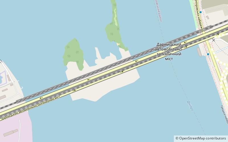
The New Darnytskyi Bridge is a combined road and railroad bridge in Kyiv, the capital of Ukraine. It spans across the Dnieper River connecting the left and right banks of the city, the Darnytsia and Holosiiv districts of Kyiv, respectively. The bridge carries a double track rail line and is built to accommodate six lanes of road traffic. ()
Local name: Залізнично-автомобільний мостовий перехід через Дніпро в Києві Opened: 2011 (15 years ago)Length: 3609 ftCoordinates: 50°24'58"N, 30°35'11"E
Address
Дарниця (Darnica)Kyiv
ContactAdd
Social media
Add
Day trips
New Darnytskyi Bridge – popular in the area (distance from the attraction)
Nearby attractions include: National Museum of the History of Ukraine in the Second World War, Hryshko National Botanical Garden, Motherland Monument, Vydubychi Monastery.
Frequently Asked Questions (FAQ)
Which popular attractions are close to New Darnytskyi Bridge?
Nearby attractions include Mihajlivska cerkva, Kyiv (20 min walk), Vydubychi, Kyiv (20 min walk), Paton Bridge, Kyiv (21 min walk), Vydubychi Monastery, Kyiv (21 min walk).
How to get to New Darnytskyi Bridge by public transport?
The nearest stations to New Darnytskyi Bridge:
Bus
Train
Trolleybus
Metro
Bus
- Дніпровська набережна • Lines: 108, 87 (14 min walk)
- Автокооператив Березняки • Lines: 108, 87, 95 (18 min walk)
Train
- Livyi Bereh (24 min walk)
- Видубичі (38 min walk)
Trolleybus
- Міст Патона • Lines: Тр91Н (29 min walk)
- м/н Русанівка • Lines: Тр91Н (29 min walk)
Metro
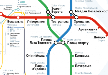
- Vydubychi • Lines: M3 (39 min walk)

 Metro
Metro