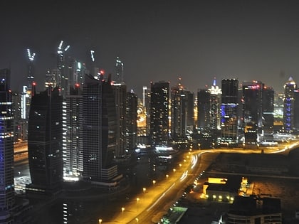
Dubai/Jebel Ali, Dubai
Map
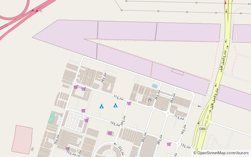
Map

Facts and practical information
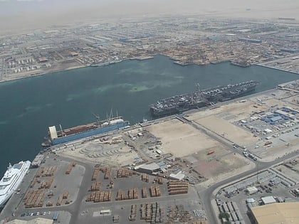
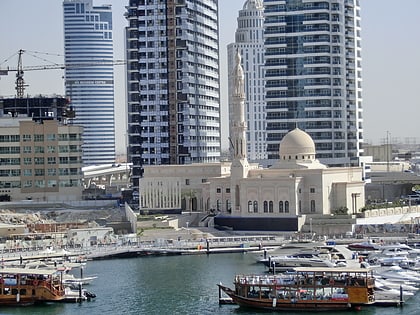
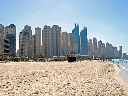
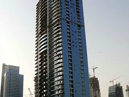
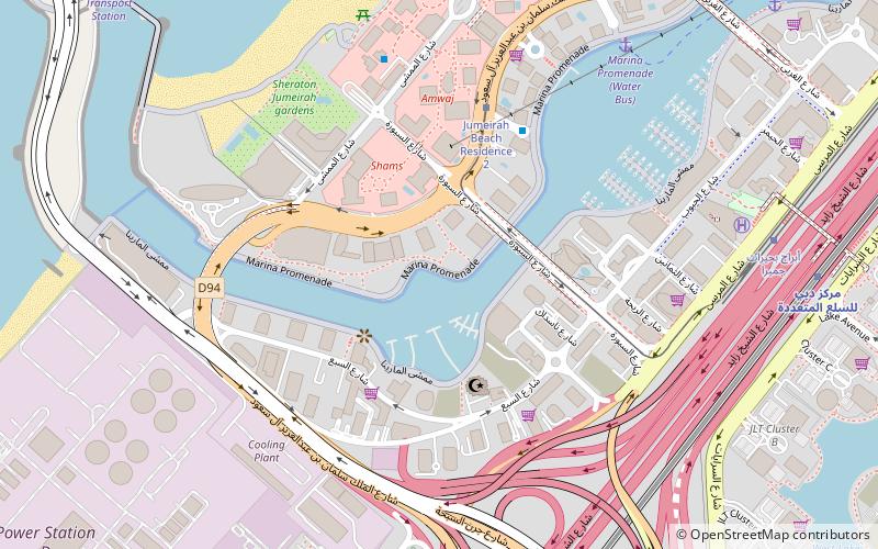
Jebel Ali is a port town 35 kilometers south-west of Dubai. The Jebel Ali Port is located there. Al Maktoum International Airport has been constructed just outside the port area. Jebel Ali is connected to Dubai via the UAE Exchange, Danube and Energy stations on the Dubai Metro. Among the infrastructure projects built to support the port and town is the world's largest desalination plant, the Jebel Ali Desalination Plant, providing an ample supply of freshwater. ()
Local name: جبل علي Established: 1977 (49 years ago)Area: 18.19 mi²Coordinates: 25°0'41"N, 55°6'27"E
Address
Dubai
ContactAdd
Social media
Add
Day trips
Dubai/Jebel Ali – popular in the area (distance from the attraction)
Nearby attractions include: Ibn Battuta Mall, Splash Pad Dubai, Dubai Marina Yacht Club, Ain Dubai.
Frequently Asked Questions (FAQ)
How to get to Dubai/Jebel Ali by public transport?
The nearest stations to Dubai/Jebel Ali:
Metro
Metro
- Danube • Lines: Red (26 min walk)
- Energy • Lines: Red (29 min walk)
