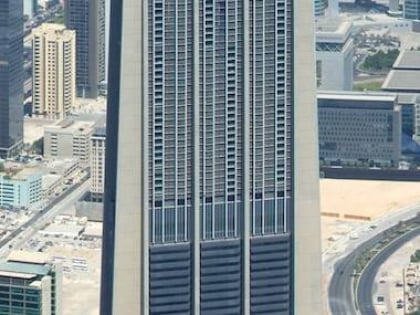
Khalid Al Attar Tower 2, Dubai
Map
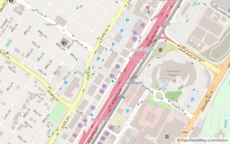
Map

Facts and practical information
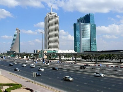
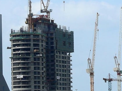
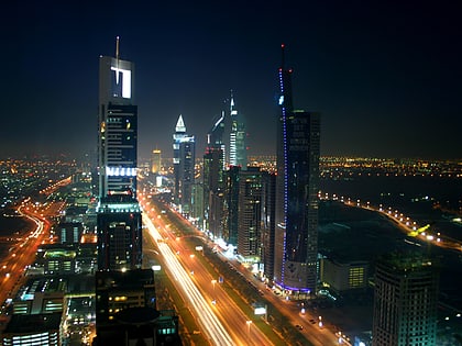
Khalid Al Attar Tower 2 is a 66-floor tower on Sheikh Zayed Road in Dubai, United Arab Emirates. The tower has a total structural height of 294 m. Construction of the Khalid Al Attar Tower 2 was completed in 2011. ()
Alternative names: Completed: 2011 (15 years ago)Height: 965 ftFloors: 66Coordinates: 25°13'3"N, 55°16'43"E
Address
المركز التجاري (المركز التجاري الأولى)Dubai
ContactAdd
Social media
Add
Day trips
Khalid Al Attar Tower 2 – popular in the area (distance from the attraction)
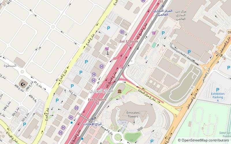
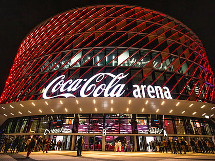
Nearby attractions include: Emirates Towers, Museum of the Future, Coca-Cola Arena, Trade Centre 2.
Frequently Asked Questions (FAQ)
Which popular attractions are close to Khalid Al Attar Tower 2?
Nearby attractions include The Tower, Dubai (4 min walk), Al Yaqoub Tower, Dubai (4 min walk), Al Rostamani Maze Tower, Dubai (4 min walk), Trade Centre 2, Dubai (5 min walk).
How to get to Khalid Al Attar Tower 2 by public transport?
The nearest stations to Khalid Al Attar Tower 2:
Metro
Bus
Metro
- Emirates Towers • Lines: Red (3 min walk)
- Financial Centre • Lines: Red (13 min walk)
Bus
- Bada'A • Lines: X02 (21 min walk)
- Satwa, Masjid 1 • Lines: X02 (27 min walk)


