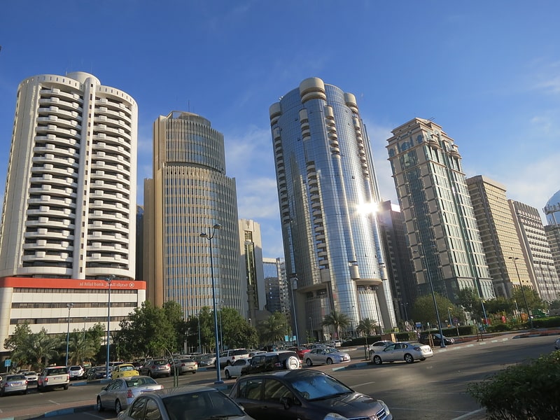
Alghadeer, Abu Dhabi
Map
Facts and practical information
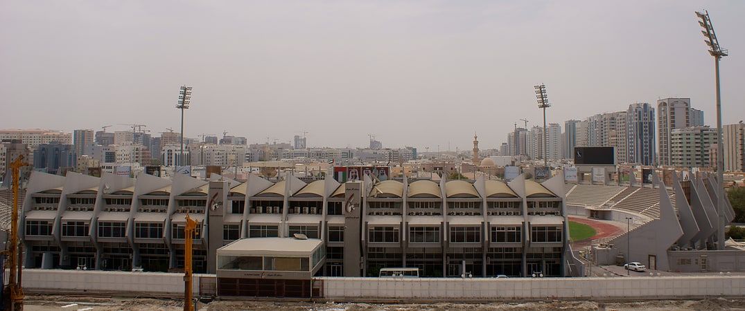
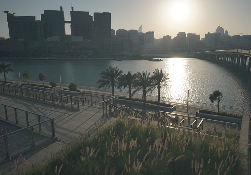
Alghadeer is a three million m2 property development on the eastern border of the Emirate of Abu Dhabi, on the border between the city and Dubai. It is part of the wider Saih Al Sidirah development. It is to be a fully self-contained community. The community includes a mosque, retail space, parks and an international school. ()
Coordinates: 24°29'10"N, 54°22'29"E
Address
Abu Dhabi
ContactAdd
Social media
Add
Getting there by public transportation
Public transportation stops near this location
- Bus
 Bus
Bus
- Calculate routeAbu Dhabi Central Bus Station 28 min walk
- Calculate routeAbu Dhabi central bus station 28 min walk
Day trips


Frequently Asked Questions (FAQ)
How to get to Alghadeer by public transport?
The nearest stations to Alghadeer:
Bus
Bus
- Abu Dhabi Central Bus Station (28 min walk)
- Abu Dhabi central bus station (28 min walk)