Al Nasr, Dubai

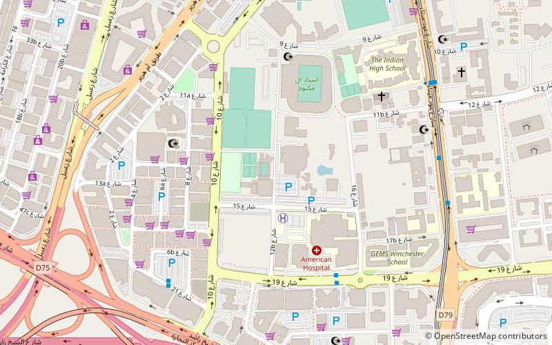
Map
Facts and practical information
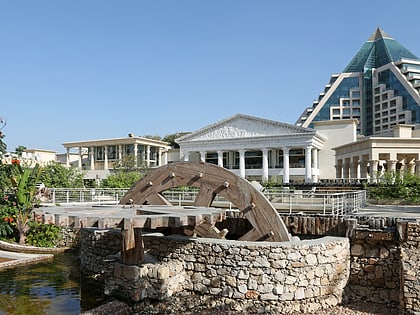
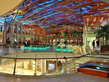
Oud Metha, or Al Nasr is a locality in Dubai, United Arab Emirates. Although a small residential locality, has several commercial and entertainment complexes, schools and cultural clubs. ()
Coordinates: 25°14'15"N, 55°18'43"E
Address
بر دبي (عود ميثاء)Dubai
ContactAdd
Social media
Add
Day trips
Al Nasr – popular in the area (distance from the attraction)
Nearby attractions include: Wafi City, Dubai Frame, BurJuman, Dubai Creek Golf & Yacht Club.
Frequently Asked Questions (FAQ)
Which popular attractions are close to Al Nasr?
Nearby attractions include Holy Trinity Church, Dubai (11 min walk), St. Mary's Catholic Church, Dubai (11 min walk), Al Karama, Dubai (18 min walk), Dubai Frame, Dubai (19 min walk).
How to get to Al Nasr by public transport?
The nearest stations to Al Nasr:
Bus
Metro
Bus
- American Hospital 1 • Lines: F18 (6 min walk)
- Sunrise City Supermarket • Lines: F18 (8 min walk)
Metro
- Oud Metha • Lines: Green (14 min walk)
- Dubai Healthcare City • Lines: Green (21 min walk)


