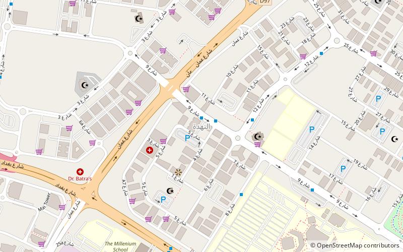
Al Nahda, Dubai
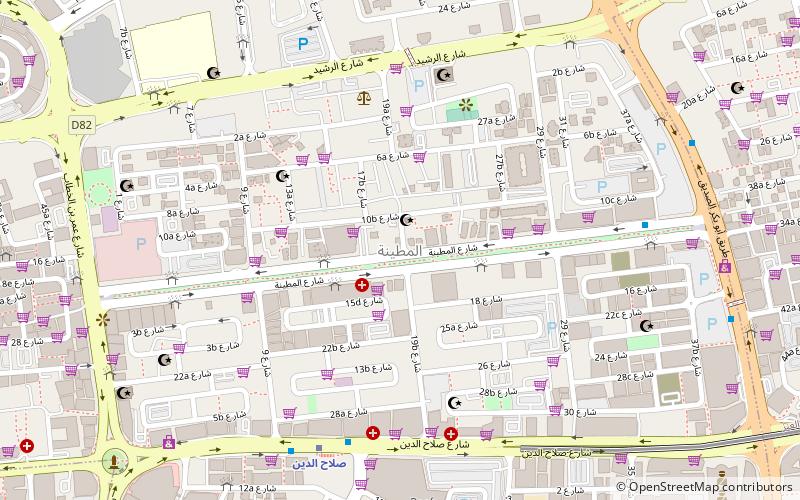
Map
Facts and practical information
Al Nahda is a locality in Dubai, United Arab Emirates. Located in eastern Dubai in Deira, Al Nahda forms part of Dubai's eastern border with the emirate of Sharjah. Portions of Al Nahda that flow north into the emirate of Sharjah fall within that emirate's jurisdiction. ()
Address
ديرة (النهدة)Dubai
ContactAdd
Social media
Add
Getting there by public transportation
Public transportation stops near this location
- Metro
- Bus
 Metro
Metro
- Calculate routeStadium 28 min walk
- Calculate routeAl Qiyadah 39 min walk
- Calculate routeSharjah, Al Taawun Terminus 30 min walk
- Calculate routeSharjah, Al Taawun, Al Amal Tower 30 min walk
Day trips


Frequently Asked Questions (FAQ)
How to get to Al Nahda by public transport?
The nearest stations to Al Nahda:
Metro
Bus
Metro
- Stadium • Lines: Green (28 min walk)
- Al Qiyadah • Lines: Green (39 min walk)
Bus
- Sharjah, Al Taawun Terminus (30 min walk)
- Sharjah, Al Taawun, Al Amal Tower (30 min walk)