Al Mankhool, Dubai
Map
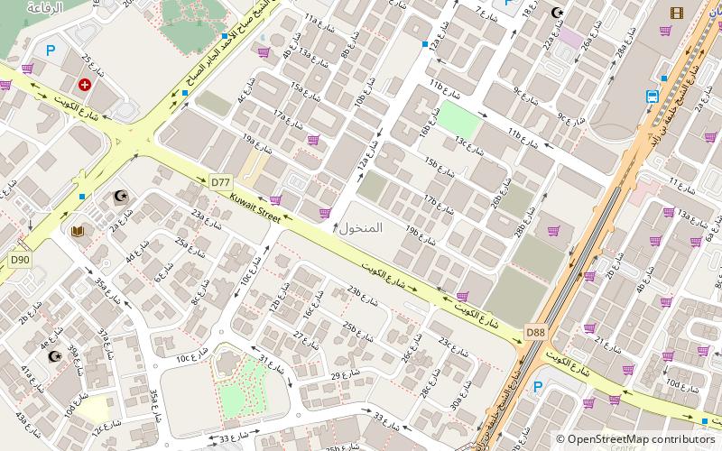
Map

Facts and practical information
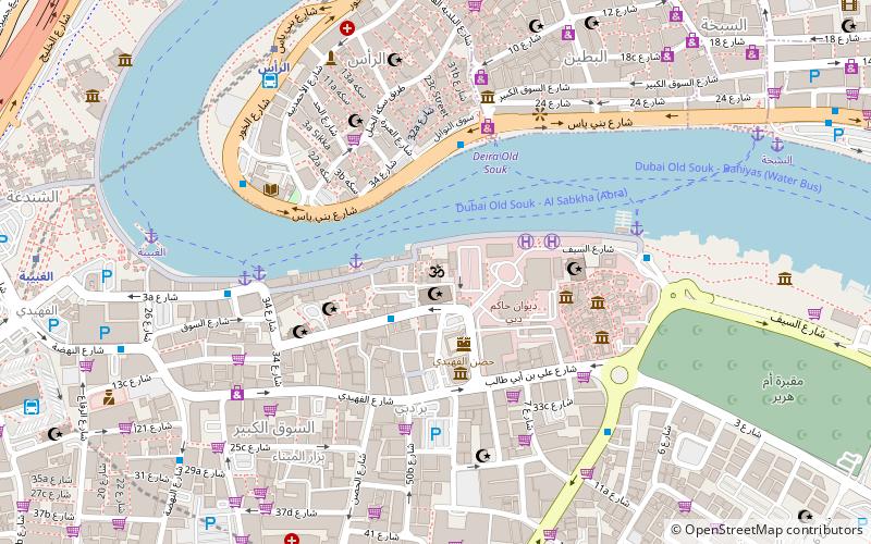
Al Mankhool is a locality in Dubai, United Arab Emirates. Located in western Dubai, in the area of Bur Dubai, Al Mankhool is largely a residential area. However, several restaurants, hotels and financial service corporations are located in Al Mankhool. Route D 90 runs east–west through the locality, while Khaled bin Al Waleed Street runs perpendicular to Al Mankhool road. The section of Khaled bin Waleed Street that is in the proximity of Al Mankhool is sometimes referred to as Bank Street by expatriates. ()
Address
بر دبي (المنخول)Dubai
ContactAdd
Social media
Add
Day trips
Al Mankhool – popular in the area (distance from the attraction)
Nearby attractions include: Dubai Museum, Emirates Golf Club, Dubai Frame, Queen Elizabeth 2.
Frequently Asked Questions (FAQ)
Which popular attractions are close to Al Mankhool?
Nearby attractions include Al Karama, Dubai (8 min walk), Al Rifa, Dubai (15 min walk), Al Karama, Dubai (17 min walk), Al Hamriya, Dubai (23 min walk).
How to get to Al Mankhool by public transport?
The nearest stations to Al Mankhool:
Bus
Metro
Bus
- Mankhool, Standard Chartered Bank 1 • Lines: 15, C1 (9 min walk)
- Al Fahidie Metro Station B2 • Lines: 15, C1 (10 min walk)
Metro
- Adcb • Lines: Red (10 min walk)
- Sharaf DG • Lines: Green (16 min walk)


