Tyrrau Mawr, Snowdonia National Park
Map

Map

Facts and practical information
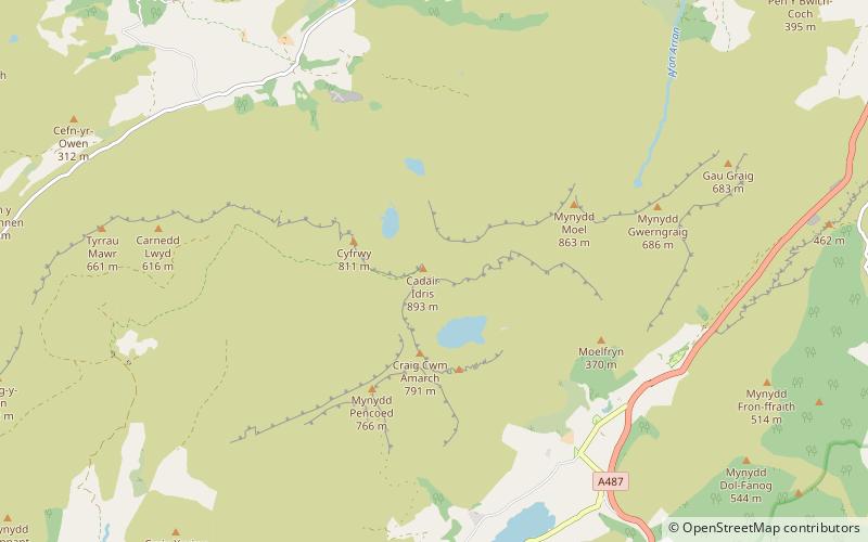
Tyrrau Mawr or Craig-las is a subsidiary summit of Cadair Idris in the Snowdonia National Park, in Gwynedd, northwest Wales. It lies to the west of Cyfrwy, and can be climbed by taking a west bearing from the Pony Path at Rhiw Gwredydd. Its north face is a crag, known as Craig-las. Below the crags lies Llyn Cregennen with its small island. The reflection of Craig-las from this lake is one of the famous images associated with Snowdonia. ()
Elevation: 2169 ftProminence: 338 ftCoordinates: 52°41'58"N, 3°54'25"W
Address
Snowdonia National Park
ContactAdd
Social media
Add
Day trips
Tyrrau Mawr – popular in the area (distance from the attraction)
Nearby attractions include: Cadair Idris, Craig Cwm Amarch, Cyfrwy, Craig-y-llyn.
Frequently Asked Questions (FAQ)
Which popular attractions are close to Tyrrau Mawr?
Nearby attractions include Cyfrwy, Snowdonia National Park (1 min walk), Craig-y-llyn, Snowdonia National Park (1 min walk), Gau Graig, Snowdonia National Park (1 min walk), Mynydd Moel, Snowdonia National Park (1 min walk).


