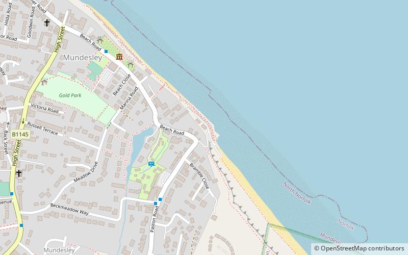
Mundesley Independent Lifeboat/Flood rescue, Mundesley
Map

Map

Facts and practical information
Mundesley Independent Lifeboat/Flood rescue (address: Beach road) is a place located in Mundesley (England kingdom) and belongs to the category of museum.
It is situated at an altitude of 30 feet, and its geographical coordinates are 52°52'35"N latitude and 1°26'29"E longitude.
Among other places and attractions worth visiting in the area are: Paston Great Barn, Norfolk Coast AONB (memorial, 33 min walk), Saint John the Baptist's Head, Norfolk Coast AONB (church, 69 min walk), St Nicholas Church, North Walsham (church, 113 min walk).
Coordinates: 52°52'35"N, 1°26'29"E
Day trips
Mundesley Independent Lifeboat/Flood rescue – popular in the area (distance from the attraction)
Nearby attractions include: Paston Way, Cromer Lighthouse, St Nicholas Church, Saint John the Baptist's Head.


