Lanark Loch, Lanark

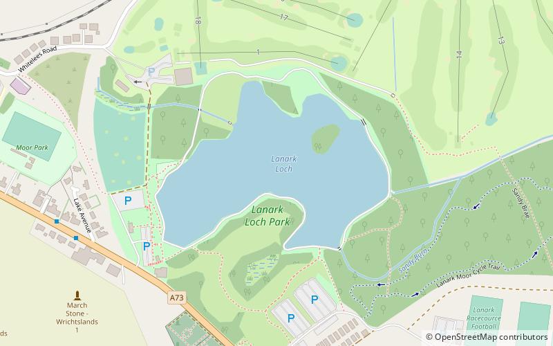
Map
Facts and practical information
Lanark Loch is a man-made loch in the town of Lanark, South Lanarkshire, situated 2 kilometres south east of Lanark town centre. Covering an area of 4.9 hectares, it was built in the 19th century by the architect Hugh Marr at a place where there was a small pond which had previously been used by a local curling club. There is a small wooded island in the loch. ()
Length: 1440 ftWidth: 735 ftElevation: 682 ft a.s.l.Coordinates: 55°40'7"N, 3°45'2"W
Day trips
Lanark Loch – popular in the area (distance from the attraction)
Nearby attractions include: Falls of Clyde, St Nicholas Parish Church, St Kentigern's Church, Corra Castle.
Frequently Asked Questions (FAQ)
Which popular attractions are close to Lanark Loch?
Nearby attractions include St Kentigern's Church, Lanark (20 min walk), St Mary's RC Church, Lanark (24 min walk).


