Gun, Peak District
Map

Map

Facts and practical information
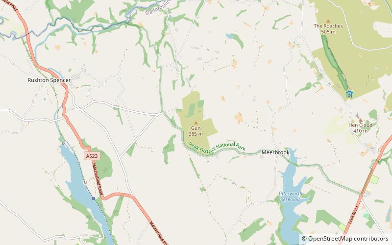
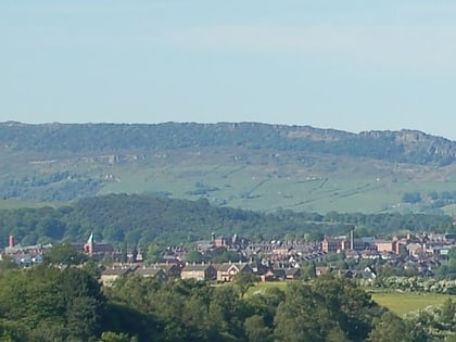
Gun is a hill at the southern end of the Peak District, overlooking the town of Leek in the Staffordshire Moorlands. The hill is mainly moorland with some small wooded areas. Neighbouring peaks to the east are The Roaches, Hen Cloud and Ramshaw Rocks. It is a nature reserve of the Staffordshire Wildlife Trust. ()
Elevation: 1224 ftProminence: 551 ftCoordinates: 53°9'3"N, 2°2'47"W
Address
Peak District
ContactAdd
Social media
Add
Day trips
Gun – popular in the area (distance from the attraction)
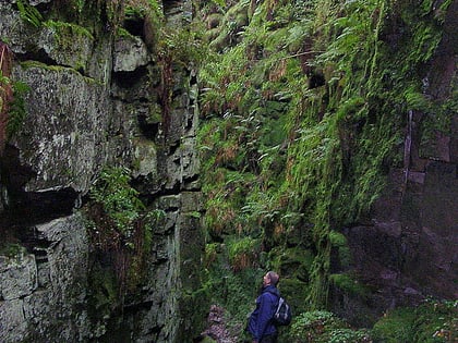
Nearby attractions include: Lud's Church, St Edward the Confessor's Church, All Saints' Church, The Roaches.


