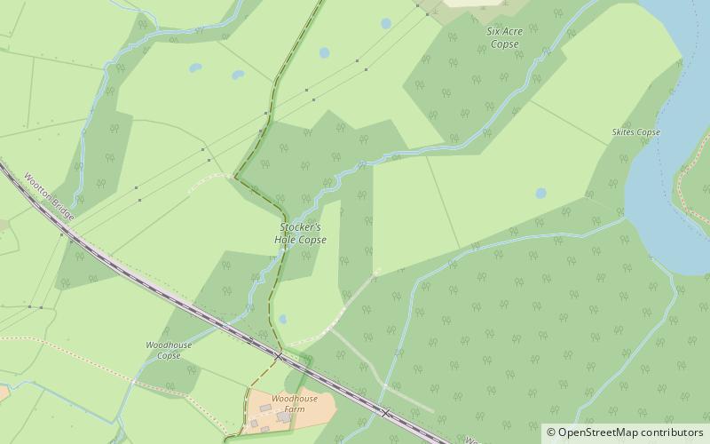
Briddlesford Nature Reserve, Isle of Wight

Map
Facts and practical information
Briddlesford Nature Reserve consists of 158 hectares of land on the Isle of Wight that is composed of a complex of different habitats, including woodland, arable farmland, lowland meadow, parkland, pond, hedgerow and grazing marsh. The reserve encompasses a majority of the Briddlesford Copses Site of Special Scientific Interest and Special Area of Conservation together with about 50 hectares of farmland. The reserve is owned by People's Trust for Endangered Species and managed to preserve and enhance its biodiversity value. ()
Coordinates: 50°42'50"N, 1°13'44"W
Address
Isle of Wight
ContactAdd
Social media
Add
Day trips
Briddlesford Nature Reserve – popular in the area (distance from the attraction)
Nearby attractions include: Butterfly World, St Edmund's Church, St Mark's Church, Quarr Abbey House.
Frequently Asked Questions (FAQ)
How to get to Briddlesford Nature Reserve by public transport?
The nearest stations to Briddlesford Nature Reserve:
Train
Bus
Train
- Wootton (15 min walk)
- Havenstreet (22 min walk)
Bus
- Wootton Station • Lines: 9 (18 min walk)
- Gravel Pit Road • Lines: 9 (19 min walk)


