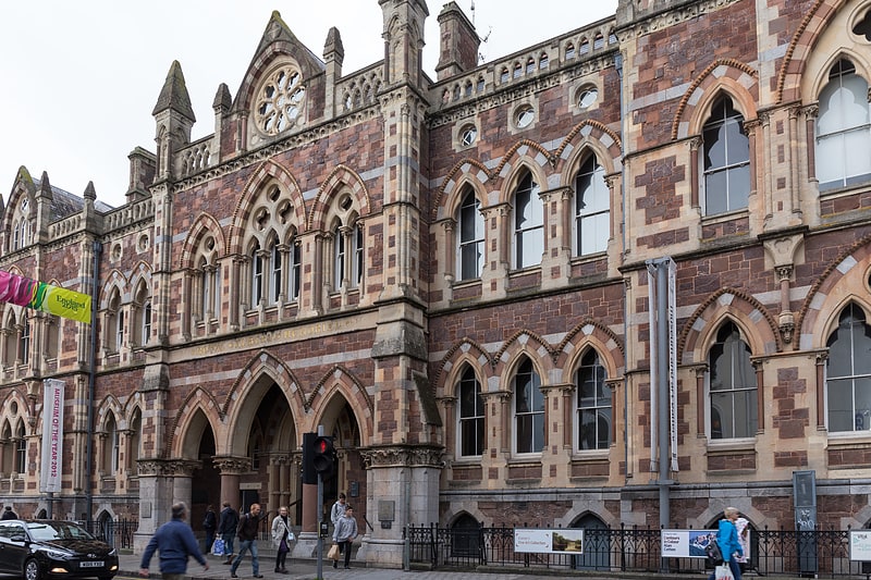
Higher Barracks, Exeter

Gallery (1)
Map

Map
Facts and practical information
Higher Barracks is a former military installation on Howell Road, Exeter. ()
Built: 1794 (231 years ago)Coordinates: 50°43'53"N, 3°31'48"W
Address
St James'Exeter
ContactAdd
Social media
Add
Getting there by public transportation
Public transportation stops near this location
- Bus
- Train
 Bus
Bus
- Calculate routeHoopern Lane 6 min walk
- Calculate routeBlackall Road 6 min walk
- Calculate routeLower St Germans Road 6 min walk
- Calculate routeNew North Road 7 min walk
- Calculate routeExeter Central 9 min walk
- Calculate routeSt James' Park 9 min walk
- Calculate routeExeter St Davids 16 min walk
- Calculate routeExeter St Thomas 27 min walk
Day trips


Frequently Asked Questions (FAQ)
Which popular attractions are close to Higher Barracks?
Nearby attractions include Richard Beaumont Longbrook salon, Exeter (6 min walk), Bill Douglas Centre, Exeter (6 min walk), Mary Harris Memorial Chapel of the Holy Trinity, Exeter (7 min walk), Exeter Mosque, Exeter (7 min walk).
How to get to Higher Barracks by public transport?
The nearest stations to Higher Barracks:
Bus
Train
Bus
- Hoopern Lane • Lines: F2, U (6 min walk)
- Blackall Road • Lines: F2, U (6 min walk)
Train
- Exeter Central (9 min walk)
- St James' Park (9 min walk)