Moel Hiraddug, Dyserth

Gallery (2)
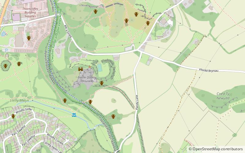
Map

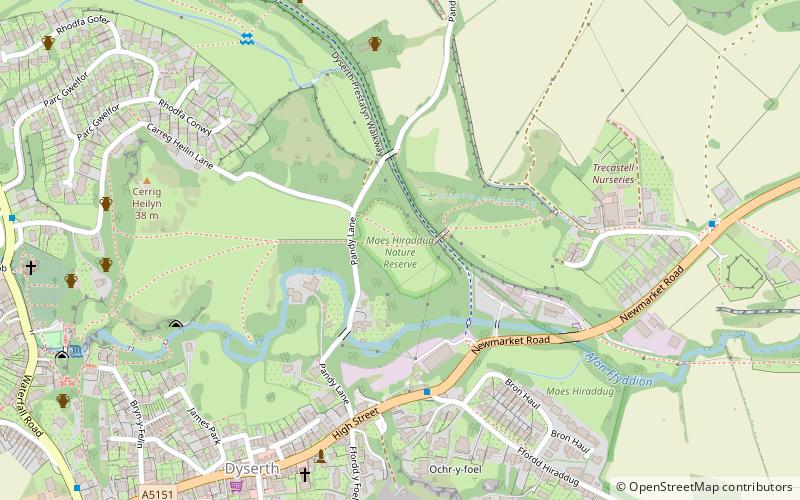
Map
Gallery
Facts and practical information
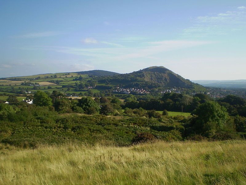
Moel Hiraddug, also known as Y Foel, is a hill fort and hill in the Clwydian Range of north-east Wales. The northern part of the hill has been eaten away by limestone quarrying. An Iron Age hillfort crowns the hill, called Moel Hiraddug. Its ridge runs North-South and it lies above the village of Dyserth. The views from the top are extensive and include Snowdonia. It is 265 metres above sea level. ()
Coordinates: 53°17'33"N, 3°24'23"W
Address
Dyserth
ContactAdd
Social media
Add
Day trips


Frequently Asked Questions (FAQ)
Which popular attractions are close to Moel Hiraddug?
Nearby attractions include Maes Hiraddug, Dyserth (20 min walk), Waterfall Shop, Dyserth (20 min walk).