Stone Arthur, Grasmere

Map
Facts and practical information
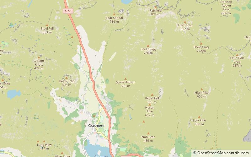
Stone Arthur is a fell in the English Lake District, an outlier of the Fairfield group in the Eastern Fells. It stands above Grasmere village. ()
Elevation: 1650 ftProminence: 7 ftCoordinates: 54°28'27"N, 3°0'30"W
Day trips
Stone Arthur – popular in the area (distance from the attraction)
Nearby attractions include: St Oswald's Church, Alcock Tarn, Allan Bank, Heron Pike.
Frequently Asked Questions (FAQ)
Which popular attractions are close to Stone Arthur?
Nearby attractions include Heron Pike, Grasmere (21 min walk), Alcock Tarn, Grasmere (22 min walk), Great Rigg, Grasmere (23 min walk).
How to get to Stone Arthur by public transport?
The nearest stations to Stone Arthur:
Bus
Bus
- Winterseeds • Lines: 555 (19 min walk)
- The Swan Hotel • Lines: 555, 599 (21 min walk)


