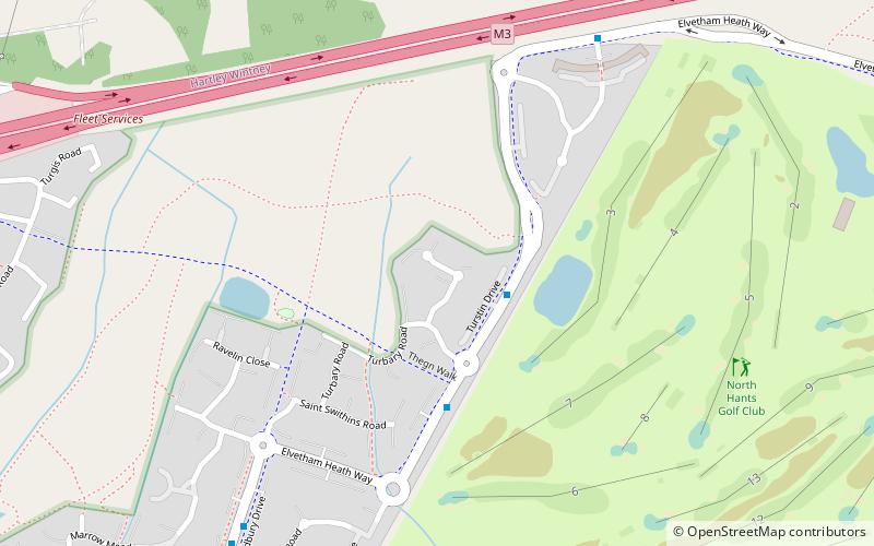
Elvetham Heath, Fleet
Map

Map

Facts and practical information
Elvetham Heath is a residential area and civil parish, containing around 2000 homes on a 311-acre site, just outside the north western boundary of the town of Fleet in the English county of Hampshire. Construction of Elvetham Heath began in the summer of 1999 and ended in June 2008. The population of the civil parish at the 2011 Census was 5,183. ()
Elevation: 226 ft a.s.l.Coordinates: 51°17'42"N, 0°50'34"W
Address
Fleet (Fleet North)Fleet
ContactAdd
Social media
Add
Day trips
Elvetham Heath – popular in the area (distance from the attraction)
Nearby attractions include: Fleet Pond, All Saints Church, Elvetham Heath LNR, Ancells Farm.
Frequently Asked Questions (FAQ)
Which popular attractions are close to Elvetham Heath?
Nearby attractions include Elvetham Heath LNR, Fleet (5 min walk), All Saints Church, Fleet (20 min walk), Fleet Pond, Fleet (24 min walk).


