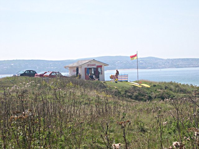
The Towans, Hayle
Map

Gallery

Facts and practical information
Towan is found in many placenames in Cornwall. However, The Towans usually refers to the three-mile stretch of coastal dunes which extends north-east from the estuary of the River Hayle to Gwithian beach with a midpoint near Upton. The South West Coast Path crosses the towans. ()
Elevation: 49 ft a.s.l.Coordinates: 50°11'33"N, 5°25'52"W
Address
North Cornish CoastHayle
ContactAdd
Social media
Add
Day trips
The Towans – popular in the area (distance from the attraction)
Nearby attractions include: Paradise Park, St Uny's Church, The Bucket of Blood, St Elwyn's Church.
Frequently Asked Questions (FAQ)
Which popular attractions are close to The Towans?
Nearby attractions include St Uny's Church, Carbis Bay (10 min walk), St Elwyn's Church, Hayle (15 min walk), St Felicitas and St Piala's Church, Hayle (20 min walk).


