Greenfield Reservoir, Peak District
Map

Gallery

Facts and practical information
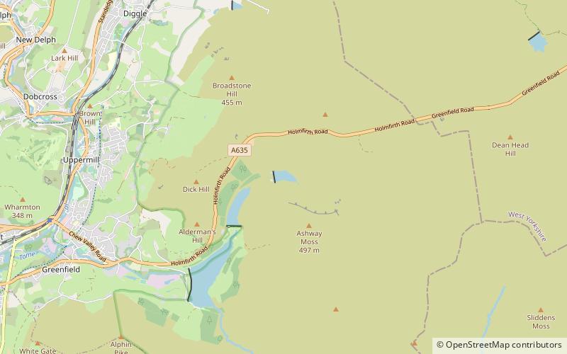
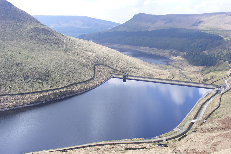
Greenfield Reservoir is a reservoir in the Saddleworth parish of the Metropolitan Borough of Oldham in Greater Manchester, in the English Peak District. Lying within the historic boundaries of the West Riding of Yorkshire, above the village of Greenfield, it is on the edge of the Peak District National Park, near the A635 road on Saddleworth Moor. The reservoir is fed by the Greenfield Brook and is above the Yeoman Hey Reservoir, which in turn feeds into Dovestone Reservoir. ()
Elevation: 915 ft a.s.l.Coordinates: 53°32'42"N, 1°57'28"W
Address
Peak District
ContactAdd
Social media
Add
Day trips
Greenfield Reservoir – popular in the area (distance from the attraction)
Nearby attractions include: Dovestone Reservoir, Greenfield Valley, Saddleworth Moor, Yeoman Hey Reservoir.
Frequently Asked Questions (FAQ)
Which popular attractions are close to Greenfield Reservoir?
Nearby attractions include Saddleworth Moor, Peak District (4 min walk), Greenfield Valley, Diggle (5 min walk), Yeoman Hey Reservoir, Peak District (13 min walk).


